Gold Rock Survey and Mapping
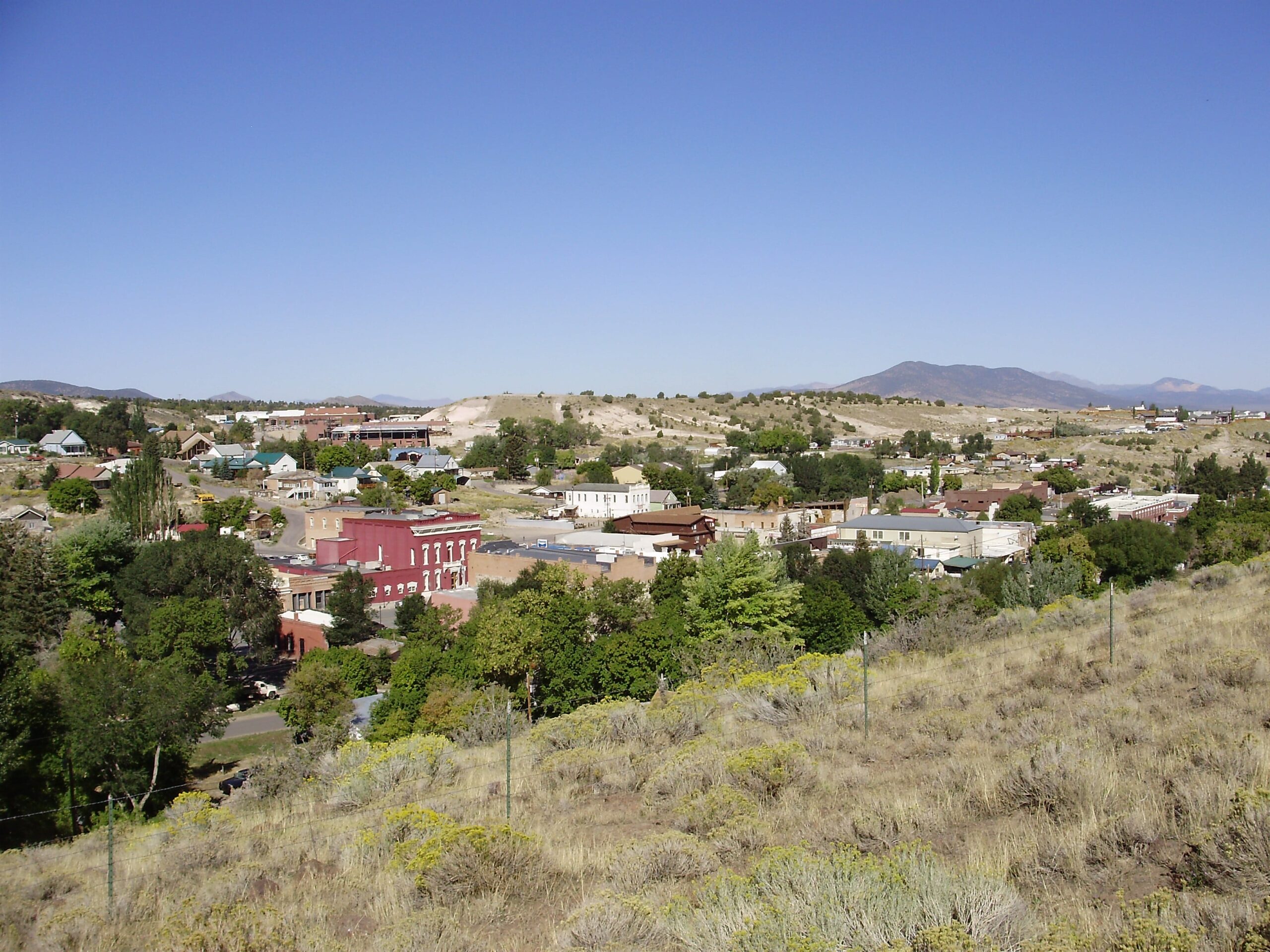
Location: Eureka, Nevada
Industry: Mining
Project Overview
In collaboration with GSP Consulting, Synergy Mapping Inc. delivered an extensive geospatial survey and mapping solution for the Gold Rock mining project in Eureka, Nevada. Spanning a total area of 54 square miles (34,560 acres), this initiative was pivotal in providing comprehensive data to support mining operations and future land-use planning.
The project included 36 square miles (23,040 acres) of immediate mapping, supplemented by an additional 18 square miles (11,520 acres) reserved for future use. Situated in a geologically complex and remote location near Eureka, the Gold Rock site required cutting-edge technology and expert execution to ensure accurate data collection and analysis.
Through the integration of aerial surveying, advanced mapping techniques, and precise data modeling, Synergy Mapping empowered stakeholders with actionable insights to optimize mining operations and land management strategies. This project highlights the company’s expertise in managing large-scale, technically demanding geospatial projects.
Mapping Scope
The Gold Rock project aimed to deliver comprehensive geospatial data to support ongoing mining activities and future site development. The mapping scope included capturing critical topographic, elevation, and surface feature data to enable efficient operations and long-term planning.
Key deliverables included high-resolution aerial imagery, geo-referenced orthophotos, detailed planimetric mapping, and advanced digital terrain models. These datasets were tailored to meet the specific needs of mining operations, ensuring precision, usability, and industry compliance.

Challenges and Solutions
Large-scale mining projects like Gold Rock present unique challenges due to their expansive, remote locations and the demanding precision required for operational success. Synergy Mapping addressed these challenges through innovative technology, expert craftsmanship, and a tailored approach to data collection and analysis.
Challenge 1
Mapping an Expansive and Remote Mining Area with Rugged Terrain
The Gold Rock site spans 54 square miles of rugged, geologically complex terrain, making data collection both logistically challenging and technically demanding.
Solution 1
Wide-Scale Aerial Photography and Advanced Aerotriangulation
Synergy Mapping employed wide-scale aerial photography at a scale of 1”=1500’ (1:18,000), ensuring efficient coverage of the entire site. This approach was complemented by advanced aerotriangulation techniques, which aligned and calibrated the imagery to achieve superior spatial accuracy. These methods allowed the team to overcome the logistical challenges of mapping such a vast and remote area with rugged topography.
Challenge 2
Capturing Detailed Elevation and Feature Data Over a 54-Square-Mile Site
Mining operations require precise topographic and feature data to support planning, exploration, and excavation activities. The size of the Gold Rock site necessitated a scalable solution that maintained accuracy across the entire area.
Solution 2
High-Resolution Orthophotos and Digital Terrain Modeling (DTM)
Synergy Mapping delivered high-resolution, geo-referenced orthophotos to showcase surface features with precision. For elevation modeling, the team developed a digital terrain model (DTM) with 5-foot contour interval, supporting a 1”=200’ scale map. The deliverable provided stakeholders with actionable insights into the site’s topography, enabling better decision-making for both immediate and long-term mining activities.
Challenge 3
Providing Actionable Insights for Mining and Land Management in a Geologically Complex Area
The Gold Rock project required mapping solutions tailored to highlight critical geological and surface features essential for mining and land management.
Solution 3
Planimetric Mapping and Geo-Referenced Imagery
Synergy Mapping conducted detailed planimetric mapping to identify and delineate key surface features, including geological formations, infrastructure, and natural landmarks. This data was paired with geo-referenced imagery, allowing stakeholders to visualize and analyze the site’s features with clarity and accuracy. These insights were essential for optimizing mining operations and planning future development.
Challenge 4
Meeting Industry-Specific Standards for Precision and Reliability in Mining Projects
Mining projects demand exceptionally high standards of data precision and reliability to ensure safety, efficiency, and compliance with industry regulations.
Solution 4
Expert Craftsmanship and Cutting-Edge Aerial Technology
Synergy Mapping combined industry-leading expertise with advanced aerial surveying technologies to deliver data that met and exceeded industry standards. The team’s meticulous attention to detail and commitment to quality ensured that the deliverables were tailored to the specific needs of the mining sector, providing stakeholders with confidence in their operational decisions.
Services Provided
Synergy Mapping’s contributions to the Gold Rock project encompassed a wide range of geospatial services, each designed to address the unique demands of large-scale mining operations. These services ensured that stakeholders received accurate, actionable data to support their objectives.
Service 1
Color Aerial Photography
Wide-area aerial imagery was captured at a scale of 1”=1500’ (1:18,000), providing a comprehensive visualization of the entire site. This imagery formed the foundation for subsequent mapping and analysis, enabling stakeholders to understand the site’s layout and features effectively.
Service 2
Color Oblique Photos
Oblique aerial imagery was captured at an angle, offering enhanced site visualization and context. These images complemented vertical aerial photography by providing additional perspectives that were useful for analyzing terrain and infrastructure.
Service 3
Color Digital Orthophotos
High-resolution, geo-referenced orthophotos delivered precise visual data that supported detailed mapping and analysis. These orthophotos allowed stakeholders to accurately measure and analyze surface features, ensuring that their planning and decision-making processes were based on reliable data.
Service 4
Aerotriangulation
Aerotriangulation ensured the geometric alignment of aerial imagery, creating a seamless and accurate geospatial foundation. This process was critical for maintaining consistency across all mapping outputs, enabling stakeholders to rely on the data for informed decision-making.
Service 5
Planimetric Mapping
Planimetric mapping provided a detailed representation of the site’s surface features, including natural formations, infrastructure, and boundaries. These maps were essential for mining operations, as they highlighted critical features and supported land management planning.
Service 6
Digital Terrain Modeling (DTM)
Advanced DTMs with 5-foot contour intervals were developed to provide precise elevation data. These models supported a detailed map scale of 1”=200’ and were crucial for understanding the site’s topography, enabling effective planning and safe mining operations.
Benefits of Working
with Synergy Mapping, Inc.
Partnering with Synergy Mapping Inc. brought significant value to the Gold Rock project by ensuring the delivery of high-quality geospatial data tailored to the mining industry’s unique needs.
The company’s expertise in aerial surveying, mapping, and data modeling allowed stakeholders to overcome the challenges of large-scale, remote mining operations. By providing precise, reliable, and actionable data, Synergy Mapping enabled better decision-making, reduced project risks, and optimized workflows.
This project exemplifies Synergy Mapping’s ability to deliver customized geospatial solutions that align with industry-specific standards and client objectives.

Your Trusted Geospatial Partner for Mining Operations
Synergy Mapping Inc. specializes in delivering cutting-edge geospatial solutions tailored to the mining industry. From aerial photography to advanced elevation modeling, our services provide the precision and reliability needed for successful operations. Contact Us today to transform your mining operations with precise geospatial services. Synergy Mapping is here to help. Contact us to learn how our expertise can support your next project and deliver outstanding results.
Get in Touch
