Color Aerial Imaging Services
Are you searching for “Color Aerial Imagery Services Near Me?”
Synergy Mapping, Inc. is a leading provider of color aerial imaging services, delivering accurate and reliable data for various industries, including Engineering & Construction, Architecture & Urban Planning, and more. Our services are designed to support complex projects with precise imaging solutions.
Synergy Mapping, Inc., where color aerial imaging meets industry-specific precision. We specialize in delivering high-resolution color aerial imaging solutions across diverse sectors, leveraging advanced technology and skilled professionals to ensure accurate and comprehensive coverage.

An Introduction to Synergy Mapping, Inc.
Welcome to Synergy Mapping, your premier provider of color aerial imaging services. Renowned for our expertise in geospatial solutions, we serve a diverse range of sectors including environmental management, large-scale construction, urban development, and mining. At Synergy Mapping, we are dedicated to delivering unparalleled quality through advanced aerial imaging technologies. Whether you require detailed aerial surveys for land assessment or vibrant, high-resolution images for project visualization, our tailored services are designed to meet the highest standards and ensure the success of your endeavors. Let us help you capture the full scope of your projects with precision and clarity.
Discover the Synergy Difference
Experience unparalleled precision and quality with Synergy Mapping’s aerial imaging services. Contact us today to discuss how we can transform your project.
Contact Synergy Mapping, Inc. todayOur services cater to a range of industries
At Synergy Mapping, Inc., our color aerial imaging services are instrumental across various sectors, providing critical data and insights to support a range of professional activities:
Engineering & Construction
Our color aerial imagery is invaluable for construction companies engaged in large-scale projects. By providing detailed visual documentation, we assist in planning, monitoring, and tracking the progress of constructions, ensuring resources are used efficiently and projects are completed on schedule.
Architecture & Urban Planning
Urban designers and planners utilize our detailed color aerial imaging to gather accurate data on cityscapes, infrastructure, and spatial arrangements. This information is crucial for the seamless integration of new developments into existing urban environments, facilitating effective planning and implementation.
Environmental Conservation
We are committed to supporting environmental conservation efforts through our aerial imaging services. These services provide essential data for environmental monitoring, land use studies, and conservation projects, offering valuable insights into natural resource management and ecological research.
Infrastructure Development
Our color aerial imaging services deliver precise and comprehensive data critical for the development and maintenance of infrastructure. This includes detailed information on road networks, public utilities, and other vital infrastructure components, which are essential for thorough project planning, assessment, and ongoing maintenance.
Forestry & Natural Resources Management
In the realm of forestry and natural resources management, our services are pivotal. We provide color aerial imagery that helps in monitoring forest health, tracking wildlife habitats, and managing natural resources sustainably, ensuring environmental integrity and compliance with conservation standards.
Government
Governmental agencies rely on our color aerial imaging for a variety of purposes, including policy-making, land registry updates, and other administrative functions. Our accurate and reliable data aids in informed decision-making and effective governance, enhancing public service and community planning.
Each of these sectors benefits uniquely from our advanced aerial imaging solutions, underscoring our role as a versatile and essential service provider in the realm of geospatial analysis and surveying. At Synergy Mapping, we are dedicated to delivering services that not only meet but exceed the specific needs of our diverse clientele.
Ready to Elevate Your Project?
Take your project to the next level with our cutting-edge aerial imaging solutions. Explore your options with one of our experts.
Contact Synergy Mapping, Inc. for a personalized consultationBenefits of Using Synergy Mapping, Inc.
Precision and Clarity: Our color aerial images are characterized by their high resolution and vivid colors, which are critical for a wide range of applications, from environmental monitoring to construction and urban planning.
Rapid Turnaround: We understand the importance of time in project management, which is why we ensure quick deployment of our aerial teams and fast processing of images to meet tight deadlines.
Adaptability: We provide services tailored for a multitude of industries including land surveying, construction, urban development, and mining, offering specialized support that addresses the unique challenges of each sector.
Comprehensive Coverage: Our technologically advanced equipment allows us to cover extensive areas in a single operation, providing complete data that is essential for detailed analysis and decision-making.
Cost Efficiency: Our efficient processes and advanced technology enable us to offer cost-effective imaging solutions without compromising on quality, ensuring that you get maximum value for your investment.
Our Color Aerial Imaging Services
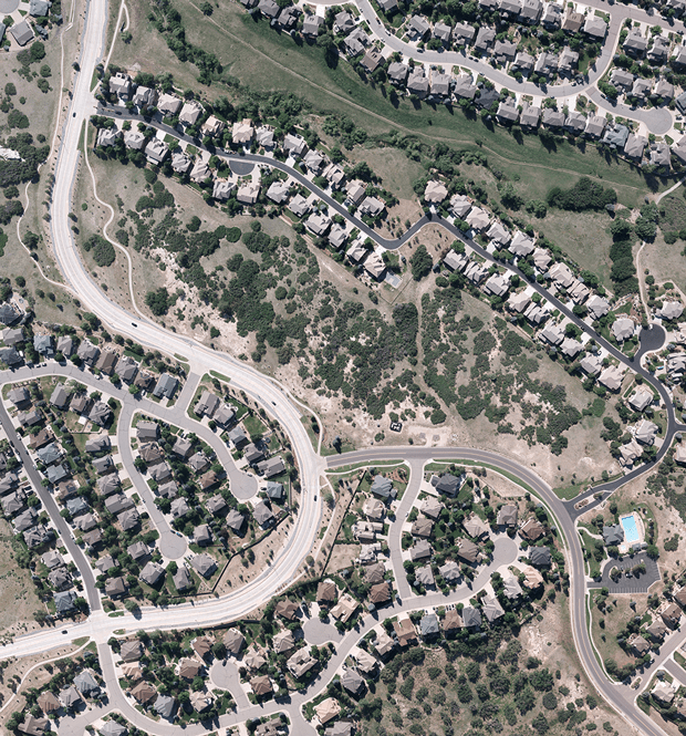
Color Aerial Photography
Our color aerial photography service offers unparalleled clarity for documenting and analyzing projects across agriculture, real estate, environmental conservation, and more. Employing the latest in high-resolution camera technology, we capture the vibrant details of landscapes and urban environments, providing essential data for marketing, planning, and conservation efforts. This service is ideal for stakeholders who need to make informed decisions based on accurate visual data.
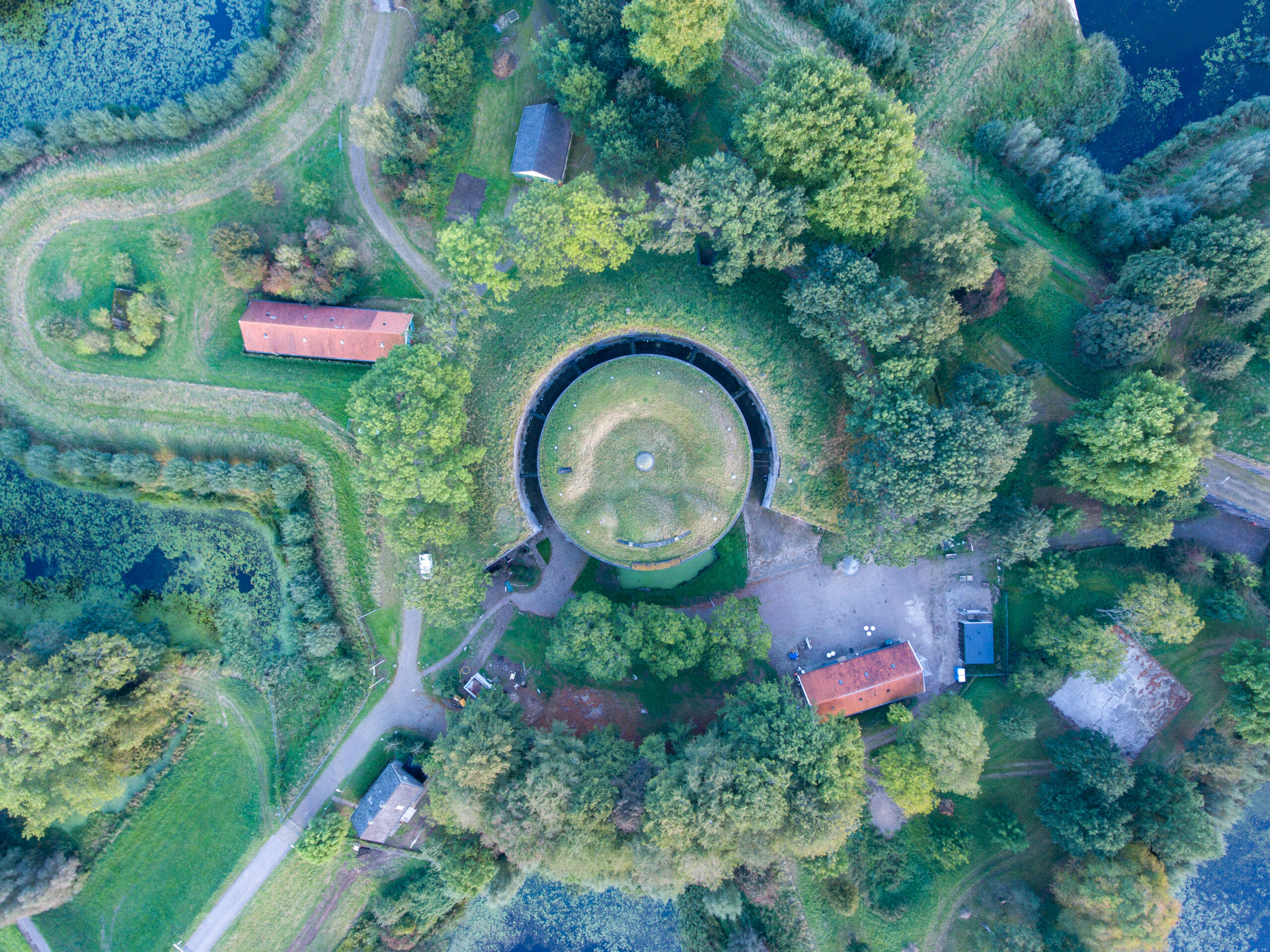
Aerial Imaging Services
We offer comprehensive aerial imaging services that produce detailed photographs These services are essential for land surveyors, construction managers, and developers who require precise and up-to-date visual documentation of their sites. Our aerial imaging helps streamline workflows, enhance documentation accuracy, and provide a robust basis for project assessments and presentations.
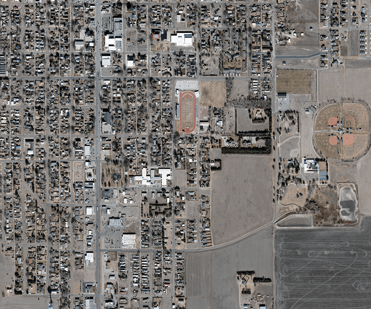
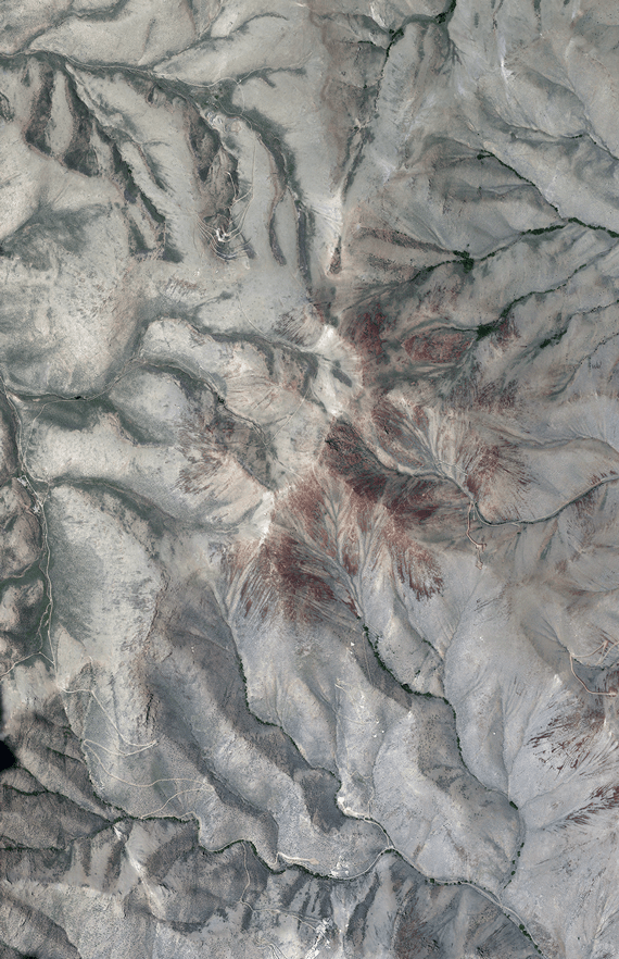
Images of Aerial Landscapes
Capturing stunning images of aerial landscapes, our service supports clients in urban development and mining who require extensive visual documentation of their areas of interest. These detailed aerial views are perfect for planning and development phases, providing a bird’s-eye perspective that can reveal opportunities and challenges unseen from the ground.
Aerial Photo Imaging
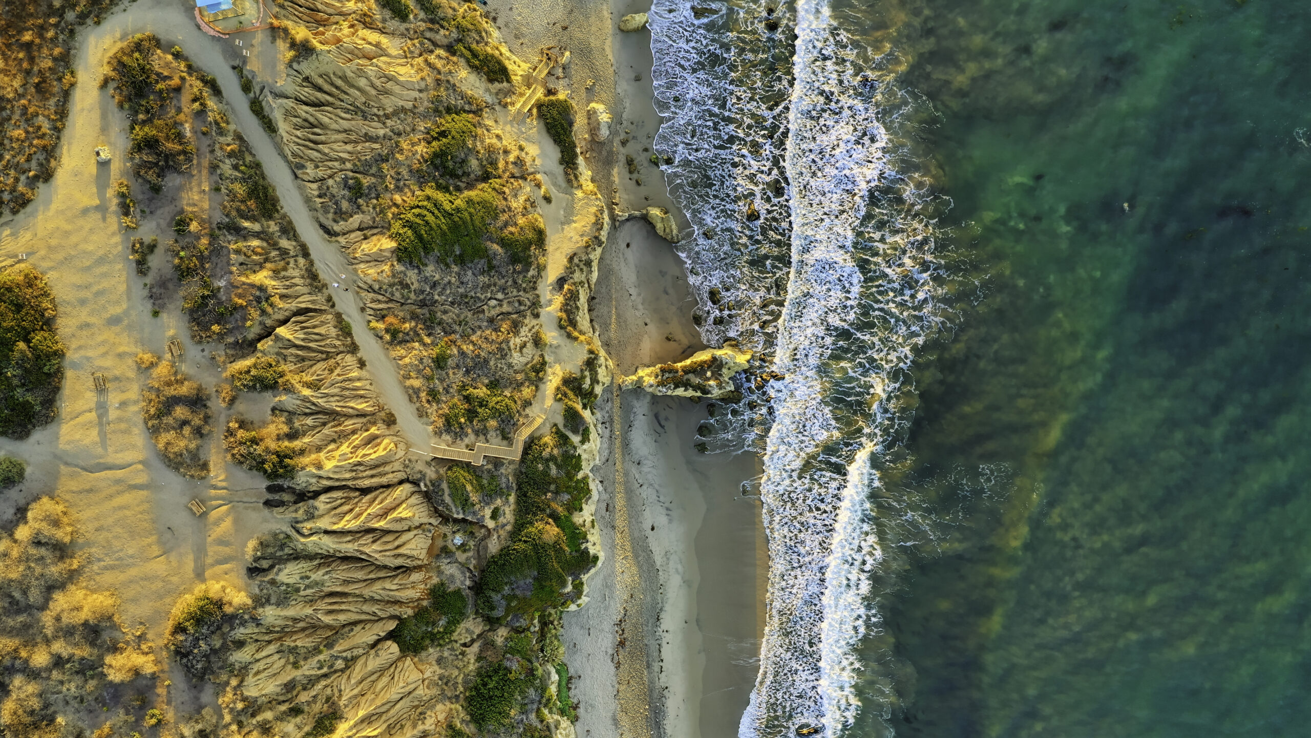
Our aerial photo imaging offers exceptional quality images that serve as crucial analytical tools in various sectors. These images support aerial photography companies and professionals by providing precise and comprehensive visual data for detailed project evaluations and assessments.
Start Your Project with Confidence
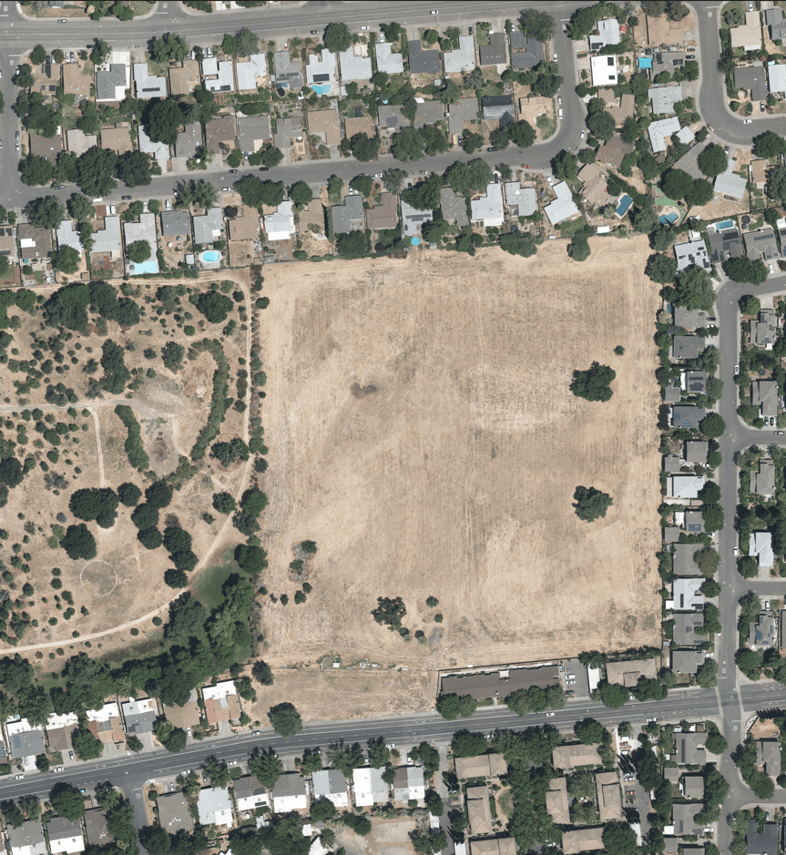
Ensure the success of your project with Synergy Mapping’s expert aerial imaging. Don’t wait to make an informed decision.
Contact Synergy Mapping, Inc. now and begin your journey to clearer, more impactful project outcomes.Why Choose Synergy Mapping, Inc.?
At Synergy Mapping, Inc., we stand out as the leader in providing comprehensive color aerial imaging services. Our commitment to excellence and precision in color aerial imaging sets us apart, ensuring that every project we undertake meets the highest standards of accuracy and quality.

Advanced Equipment
We utilize the latest in color aerial imagery technology, with cameras that offer higher resolution and dynamic range, capturing intricate details that are vital for thorough analysis and presentation.

Unparalleled Expertise
With years of experience in aerial imaging, our team comprises seasoned photographers and pilots who ensure each project receives high-resolution, high-quality imagery.

Comprehensive Solutions
We offer a full suite of services, including aerial imaging, mapping, and customized solutions, catering to diverse needs across industries such as Engineering & Construction, Architecture & Urban Planning, and more.

Local Presence
Our Office in Colorado provides quick response times and local expertise, making us a reliable choice for clients across these regions.

Dedicated Customer Support
Our commitment to customer service is unmatched, providing continuous support from project planning through to final image delivery and beyond.
Real Results:
Hear What Our Clients Are Saying
Contact Synergy Mapping, Inc.
Are you ready to take your project to the next level? Our color aerial imaging services or to discuss your specific project needs, reach out to Synergy Mapping, Inc. We offer comprehensive solutions that cater to various sectors, including Engineering & Construction, Architecture & Urban Planning, and Environmental Conservation. Our team is here to provide tailored services and support, ensuring accurate data capture and successful project outcomes.
FAQs About Color Aerial Imagery
What is aerial photography?
Aerial photography is the technique of capturing photographs of the ground from an elevated position. Typically, the camera is not supported by a ground-based structure, and the photographs are taken from platforms such as aircraft, helicopters, drones, balloons, or satellites. This form of photography is used extensively in topography, cartography, land-use planning, archaeology, film production, environmental studies, surveillance, commercial advertising, and other fields.
What is aerial imagery?
Aerial imagery involves capturing images of the earth’s surface from an airborne vehicle, such as a plane or drone. These images provide a bird’s-eye view of large areas, offering detailed information about the landscape, structures, and other surface features. Aerial imagery is crucial for GIS applications where it is used for mapping, analyzing land use and natural resources, and planning urban or rural developments.
What is an aerial map?
An aerial map is a type of map that provides a visual representation of the ground from above, typically based on images captured through aerial photography. Unlike traditional maps, aerial maps include photographic or image-based content of the terrain and may include topographic elements, buildings, vegetation, and other features visible from the air. These maps are widely used in various applications such as urban planning, agricultural planning, and environmental management.
How can color aerial imaging be used for land surveying?
Color aerial imaging can be an invaluable tool for land surveying as it provides detailed, accurate visual information of the area being surveyed. This technology allows for the efficient collection of data over large areas, helping surveyors assess land features, boundaries, and potential developments. The high-resolution, color-rich images enable precise measurements and aid in creating detailed maps and models that are essential for property planning, dispute resolution, and infrastructure development.
Why use manned aircraft for color aerial imaging?
Using manned aircraft for color aerial imaging offers several advantages, especially for extensive or complex projects. Manned aircraft can carry heavier and more advanced imaging equipment, including high-resolution cameras and sophisticated sensors, which are capable of capturing a broader spectrum of data over larger areas more efficiently than smaller drones. Additionally, manned aircraft can fly at higher altitudes and in a wider range of weather conditions, providing more flexibility and reliability for critical surveying and mapping missions. Their regulated use in controlled airspace also ensures safer and legally compliant operations, particularly in sensitive or restricted areas.
