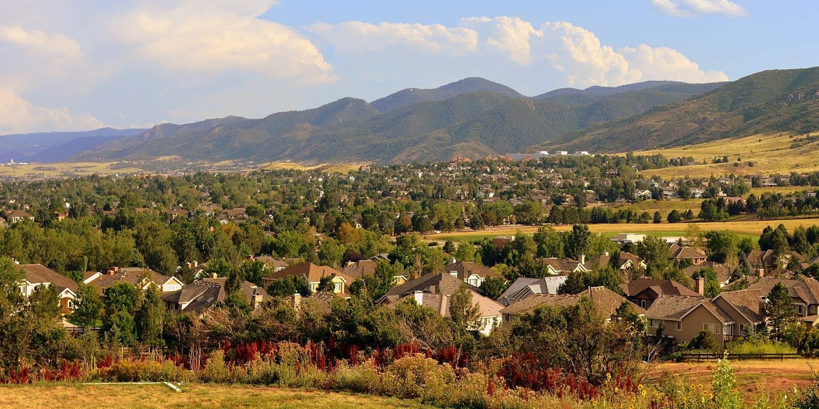
Santa Fe Agricultural Survey and Mapping
Location: Littleton, Colorado
Industry: Agriculture
Project Overview
Synergy Mapping, Inc. provided advanced aerial surveying and mapping services for the Santa Fe Agricultural Mapping Project in Littleton, Colorado. This large-scale project covered an expansive 118-acre site, located north of the intersection at South Santa Fe Drive and C-470. The primary focus of the project was to generate high-resolution mapping data that would support comprehensive agricultural land assessment and future planning.
Agricultural projects demand precise and reliable geospatial data to inform decisions on land utilization, topographic analysis, and infrastructure planning. For the Santa Fe project, Synergy Mapping, Inc. utilized state-of-the-art aerial photography, planimetric mapping, and digital terrain modeling (DTM) to deliver actionable insights. These datasets provided stakeholders with the critical information needed to evaluate the site, optimize agricultural planning, and support sustainable development.
This project demonstrates Synergy Mapping, Inc.’s commitment to delivering tailored mapping solutions designed to address the unique challenges and objectives of agricultural land-use projects.
Mapping Scope
The mapping scope of the Santa Fe project was centered on creating detailed and accurate topographic and surface feature datasets to assist in agricultural assessment and land planning. Spanning 118 acres, the project required a robust approach to data collection and analysis to address the site’s varying terrain and ensure that stakeholders had the information needed to make informed decisions.
Deliverables included:
1. High-Resolution Aerial Photography: Captured at a scale of 1”=300’, providing comprehensive visual coverage of the project area.
2. Planimetric Mapping: Detailed 2D mapping of surface features, including vegetation and natural terrain elements.
3. Digital Terrain Modeling (DTM): Advanced elevation models with one-foot contour intervals, supporting a 1”=50’ map scale for precise analysis.
These datasets were designed to integrate seamlessly into agricultural planning workflows, enabling efficient decision-making and supporting long-term land-use strategies.

Challenges and Solutions
Agricultural mapping projects often come with unique challenges, including addressing expansive areas, managing diverse terrain, and meeting strict deadlines without compromising data quality. The Santa Fe project required innovative solutions to overcome these challenges while ensuring the delivery of accurate and actionable mapping outputs.
Challenge 1
Mapping a Large Agricultural Site with Varying Terrain and Features
The 118-acre project area included diverse terrain, natural vegetation, and open land, making it essential to capture accurate topographic data that could inform agricultural assessment and planning.
Solution 1
High-Resolution Aerial Photography and Advanced Digital Terrain Modeling (DTM)
To address this challenge, Synergy Mapping, Inc. employed high-resolution aerial photography captured at a scale of 1”=300’. This imagery offered a clear and accurate visualization of the entire site, highlighting critical surface features such as vegetation patterns, topographic changes, and potential areas for land development.
Additionally, advanced DTM techniques were used to generate elevation models with one-foot contour intervals, supporting a map scale of 1”=50’. These models captured the subtle variations in terrain, providing stakeholders with the detailed elevation data needed to assess the site and plan for agricultural improvements effectively.
Challenge 2
Providing Data Suitable for Agricultural Assessment and Future Planning
Agricultural projects require mapping data that aligns with specific land-use objectives, ensuring that the deliverables are actionable and suitable for integration into planning workflows.
Solution 2
Geo-Referenced and Scaled Mapping Deliverables
Synergy Mapping, Inc. delivered all mapping products in geo-referenced and scaled formats, ensuring compatibility with industry-standard planning and analysis tools. Planimetric maps provided precise 2D representations of the surface features, while DTM deliverables offered detailed elevation data, enabling stakeholders to make data-driven decisions regarding grading, drainage, and land optimization.
These tailored deliverables ensured that the data supported both immediate agricultural assessments and long-term development goals, providing stakeholders with the flexibility needed to adapt to evolving project requirements.
Challenge 3
Meeting Project Deadlines While Maintaining High-Quality Standards
With tight deadlines, it was essential to deliver accurate and reliable mapping outputs without sacrificing quality or precision.
Solution 3
Leveraging a Skilled Team and Advanced Technology
Synergy Mapping, Inc. deployed a team of experienced geospatial professionals equipped with advanced mapping technology. The team implemented streamlined workflows to accelerate data acquisition, processing, and analysis. Aerotriangulation techniques were employed to ensure precise geometric alignment of the aerial imagery, while automated mapping tools facilitated efficient production of deliverables.
This efficient and effective approach allowed Synergy Mapping, Inc. to meet the project deadlines while maintaining the highest standards of accuracy and quality.
Services Provided
Synergy Mapping, Inc. delivered a comprehensive suite of geospatial services designed to meet the unique requirements of the Santa Fe project. Each service was tailored to provide accurate, reliable, and actionable datasets that supported agricultural planning and land assessment.
Service 1
Color Aerial Photography
High-resolution aerial imagery was captured at a scale of 1”=300’, offering clear and comprehensive visual coverage of the 118-acre site. This imagery served as the foundation for all subsequent mapping efforts, highlighting critical surface features and enabling stakeholders to evaluate the site effectively.
Service 2
Aerotriangulation
Aerotriangulation was employed to ensure precise geometric alignment and spatial accuracy of the aerial imagery. This process was critical for maintaining the consistency and reliability of the geospatial datasets.
Service 3
Planimetric Mapping
Planimetric mapping provided detailed 2D representations of surface features, including vegetation, terrain elements, and any man-made structures. These maps were essential for understanding the site layout and developing land-use strategies tailored to agricultural objectives.
Service 4
Digital Terrain Modeling (DTM)
Advanced DTM models were created with one-foot contour intervals, supporting a map scale of 1”=50’. These elevation models provided precise topographic data critical for assessing grading, drainage, and land development potential.
Benefits of Working
with Synergy Mapping, Inc.
By partnering with Synergy Mapping, Inc., stakeholders in the Santa Fe project gained access to advanced geospatial expertise and innovative mapping solutions. The company’s commitment to precision and quality ensured the delivery of reliable data tailored to the unique needs of agricultural land-use planning.
The geospatial datasets provided by Synergy Mapping, Inc. empowered stakeholders to:
1. Streamline Workflows: High-resolution data facilitated seamless integration into planning tools, reducing project timelines and enhancing productivity.
2. Enhance Decision-Making: Accurate mapping and elevation data provided actionable insights that supported effective agricultural planning and land-use optimization.
3. Meet Compliance Standards: All deliverables adhered to industry regulations, ensuring the project met best practices for agricultural development.
This project demonstrates Synergy Mapping, Inc.’s ability to deliver customized geospatial solutions that address the challenges and requirements of large-scale agricultural initiatives.

Your Trusted Geospatial Partner for Agricultural Land-Use Projects
Synergy Mapping, Inc. specializes in delivering advanced geospatial solutions tailored to the needs of agricultural planning and land-use development. From high-resolution aerial photography to detailed terrain modeling, our services provide the precision and reliability required for successful project execution. Contact Us today to optimize your agricultural project with accurate and actionable geospatial data. Synergy Mapping, Inc. is here to help, learn how our expertise can support your goals and deliver exceptional results.
Get in Touch
