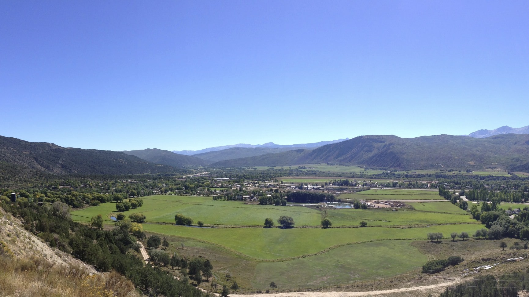
Eagle LiDAR and Aerial Mapping
Location: El Jebel, Colorado
Industry: Energy
Project Overview
Synergy Mapping Inc. spearheaded the Eagle LiDAR and Aerial Mapping Project in El Jebel, Colorado, providing cutting-edge geospatial solutions across 445 acres of diverse and environmentally significant terrain. This initiative was instrumental in supporting land-use planning and environmental analysis for the energy sector, ensuring data precision to aid sustainable decision-making.
This project combined advanced LiDAR technology with high-resolution aerial imagery to deliver comprehensive datasets that enabled stakeholders to gain deep insights into the project area’s topography and surface features. Synergy Mapping’s work was vital in balancing energy development with sustainable land management practices, demonstrating its expertise in addressing complex geospatial challenges. The Eagle project underscored the company’s ability to provide accurate, actionable data tailored to the unique demands of environmental and energy planning.
Mapping Scope
The Eagle project delivered a comprehensive geospatial dataset that served as the foundation for environmental analysis, topographic modeling, and surface feature mapping. The data gathered provided the necessary insights to support sustainable land-use strategies and energy planning. By focusing on both immediate project needs and long-term environmental considerations, Synergy Mapping ensured that stakeholders received precise information critical for effective decision-making.

Challenges and Solutions
Geospatial projects within environmentally sensitive and large-scale energy contexts often present challenges requiring meticulous planning and execution. The Eagle project exemplified these demands, with its varied terrain and critical environmental features demanding a balance of technological innovation and operational expertise.
Challenge 1
Ensuring Precise LiDAR Data Over Large, Varied Terrain
The Eagle project area featured diverse elevations and surface features, posing significant challenges in capturing consistent and accurate LiDAR data. The high-resolution requirements necessary for environmental assessments and energy planning further added to the complexity.
Solution 1
High-Resolution LiDAR Data Collection
Synergy Mapping employed state-of-the-art LiDAR sensors capable of achieving a density of +/- 10 points per square meter. This level of detail enabled the team to capture even the subtlest variations in elevation, creating a comprehensive and precise representation of the terrain. Classifying the LiDAR data to bare earth ensured an accurate topographic model that was vital for energy sector planning and environmental assessments.
Challenge 2
Capturing Clear Visual Context in an Environmentally Sensitive Area
The project’s location in a region of environmental sensitivity, coupled with challenging terrain, necessitated capturing complementary visual data to enhance the interpretability of the LiDAR results. High-resolution imagery was essential for accurately identifying surface features and providing a holistic view of the site.
Solution 2
High-Resolution 4.5 cm GSD Aerial Photography
To meet this challenge, Synergy Mapping utilized aerial photography captured at 4.5 cm GSD. This high-resolution imagery offered a visual perspective that enhanced the interpretation of LiDAR data, enabling planners and environmental analysts to better assess surface features and potential environmental impacts. By integrating aerial photography with LiDAR datasets, the project delivered a richer and more actionable understanding of the site.
Services Provided
Synergy Mapping’s work on the Eagle project reflected a holistic approach to geospatial surveying, incorporating advanced technologies to meet the project’s unique requirements. Each service contributed to the creation of a comprehensive dataset tailored to the needs of energy and environmental stakeholders.
Service 1
LiDAR Mapping
Synergy Mapping conducted advanced LiDAR surveys at +/- 10 points per square meter, providing a high-density dataset critical for precise elevation modeling. This data was classified to bare earth, ensuring accurate and detailed representation of the terrain. These efforts facilitated comprehensive environmental assessments and energy-related infrastructure planning.
View Service DetailsService 2
4.5 cm GSD Digital Aerial Photography
High-resolution aerial imagery captured at 4.5 cm GSD complemented the LiDAR data, offering stakeholders detailed visual context for surface feature identification and environmental analysis. The imagery provided a clear and accurate depiction of the project site, aiding both immediate assessments and long-term planning efforts.
View Service DetailsService 3
Aerotriangulation
Aerotriangulation ensured the geometric accuracy of all mapping outputs by seamlessly aligning aerial imagery with LiDAR datasets. This process was critical in maintaining consistency across the geospatial deliverables, enabling stakeholders to rely on cohesive and precise data for decision-making.
View Service DetailsService 4
Planimetric Mapping
The project included detailed planimetric mapping, which involved the identification and delineation of surface features across the project area. This mapping supported environmental studies and land-use planning by delivering precise representations of both natural and man-made features.
View Service DetailsService 5
Contour Mapping
Contour mapping with one-foot intervals supported the production of a 1”=50’ map scale, delivering reliable elevation data for topographic modeling. These maps were crucial for understanding the project site’s terrain and planning energy infrastructure that aligned with the natural landscape.
View Service DetailsBenefits of Working
with Synergy Mapping, Inc.
By partnering with Synergy Mapping, stakeholders in the Eagle project gained access to advanced geospatial expertise and cutting-edge technology. The combination of LiDAR, aerial photography, and comprehensive mapping services ensured that every dataset met the highest standards of accuracy and reliability.
This integration of geospatial data enhanced project outcomes by improving environmental and infrastructure planning, streamlining workflows, and reducing risks. Synergy Mapping’s tailored approach and commitment to delivering actionable insights have made it a trusted partner for complex energy and environmental projects. The Eagle project exemplifies how Synergy Mapping’s innovative solutions help balance development needs with environmental stewardship.

Your Trusted Partner in Energy and Environmental Mapping
Synergy Mapping Inc. specializes in delivering precise geospatial solutions for energy projects, environmental assessments, and sustainable land-use planning. With expertise in LiDAR surveys, aerial photography, and detailed mapping, our services are tailored to meet the unique challenges of each project. Contact us today whether you’re planning energy infrastructure, evaluating environmental impacts, or developing long-term land strategies, Synergy Mapping is here to help. Discover how our innovative approach can streamline your project planning, optimize workflows, and deliver exceptional results.
Get in Touch
