Aerial LiDAR Mapping Services
Are you searching for “Aerial LiDAR Mapping Services Near Me?”
Enhance the precision and efficiency of your projects with Synergy Mapping, Inc.’s advanced aerial LiDAR mapping services. Our high-resolution topographic data is crucial for various industries, offering detailed geospatial insights that support informed decision-making and streamlined operations. Connect with us today to discover how our expertise can elevate your project outcomes.
Synergy Mapping leverages Light Detection and Ranging (LiDAR) technology to provide high-fidelity aerial surveys. LiDAR emits pulsed lasers that measure distance to the Earth’s surface, generating precise three-dimensional (3D) point clouds. Our expert team then employs advanced digital aerial triangulation (DAT) algorithms to refine the point cloud data, ensuring exceptional geometric accuracy. This meticulous approach translates into highly detailed Digital Elevation Models (DEMs) and Digital Surface Models (DSMs), crucial for various scientific and engineering applications.

An Introduction to Synergy Mapping, Inc.
Synergy Mapping, Inc. is a leading provider of geospatial surveying and digital mapping solutions, specializing in aerial LiDAR mapping services. Leveraging state-of-the-art LiDAR technology and manned aircraft, we deliver unparalleled accuracy and detail in our surveys. Our commitment to precision, innovation, and reliability has established us as industry leaders, serving clients across the United States, including Colorado, California, and Nevada.
Unlock Unmatched Precision
Experience the highest level of detail and accuracy in topographic data collection.
Contact Synergy Mapping, Inc. today—to discover how our Aerial LiDAR Mapping Services can revolutionize your project planning and execution.We cater to a range of industries
Synergy Mapping, Inc. leverages advanced LiDAR technology to provide precise and detailed topographic data across a wide range of industries. Our comprehensive aerial LiDAR mapping services support various applications, from environmental conservation to urban planning, offering critical insights that enhance decision-making and operational efficiency. Here’s how our services benefit different sectors:
Construction
Our high-resolution topographic data aids in the planning and monitoring of construction projects, ensuring accuracy from the initial design phase through to completion. This precision reduces risks and enhances project outcomes.
Floodplain Mapping
Our services are instrumental in creating detailed floodplain maps, essential for risk assessment, disaster management, and urban planning. Accurate floodplain data helps in mitigating risks and planning effective response strategies.
Energy
Our LiDAR mapping is critical for the development and maintenance of renewable energy sites, including wind farms and solar fields. The detailed topographic data supports site selection, layout planning, and ongoing maintenance.
Archaeology
Aerial LiDAR technology unveils hidden structures and landscapes in archaeological sites, providing a non-invasive method for exploration and documentation. This high-resolution data supports the preservation and study of historical sites.
Forestry
Our LiDAR mapping aids forestry management by offering detailed canopy analysis, biomass estimation, and terrain mapping. These insights are crucial for conservation efforts, sustainable forest management, and resource allocation.
Geological Studies
Our services support geological studies by mapping geological features and formations. This data aids in resource extraction, hazard assessment, and geological research, providing critical insights into the Earth’s subsurface.
Government Agencies
We provide government agencies with accurate, detailed mapping data for public works planning, environmental monitoring, and regulatory compliance. This data supports informed decision-making and effective governance.
Hydrology
We provide detailed watershed and hydrological feature mapping, which are essential for water resource management, flood risk assessment, and environmental conservation. Our data helps in understanding water flow dynamics and managing water resources effectively.
Land Development
Land developers leverage our accurate topographic mapping for site selection, design, and environmental assessment. The detailed data supports efficient and sustainable land development practices.
Land Surveying and Mapping
For land surveyors, our LiDAR mapping services provide precise elevation data and topographical information essential for accurate site analysis, boundary delineation, and planning. The high-resolution data ensures that surveyors can make informed decisions with confidence.
Real Estate
In real estate, our mapping services offer detailed site analysis, enhancing development and valuation with precise topographical data. This information supports informed investment decisions and optimal land use.
Transportation
In the transportation sector, our LiDAR services support detailed route and corridor analysis, aiding in the design, construction, and maintenance of road and rail systems. Accurate mapping ensures optimal route planning and infrastructure integrity.
Urban Planning
Urban planners utilize our LiDAR data for infrastructure design, zoning, and land use planning. The precise topographic information supports efficient and sustainable city development, ensuring that urban growth is well-managed.
Elevate Your Data Insights
Leverage our cutting-edge LiDAR technology for comprehensive, actionable insights. Contact Synergy Mapping, Inc. now to enhance your environmental, urban, and infrastructure projects with our expert mapping services.
Contact Synergy Mapping, Inc.Benefits of Using Synergy Mapping, Inc.
Choosing Synergy Mapping, Inc. for your aerial LiDAR mapping needs means leveraging the best in technology, expertise, and customized solutions to ensure your project’s success. Here are the key benefits of working with us:
Unmatched Precision: Our aerial LiDAR mapping delivers the highest level of detail and accuracy in topographical data collection. Using state-of-the-art sensors and rigorous quality control processes, we ensure that every measurement is precise, providing reliable and actionable insights critical for effective planning and decision-making.
Comprehensive Coverage: Our services are designed to efficiently cover vast areas, making them ideal for large-scale projects. Whether you’re mapping an entire city or a sprawling forest, our LiDAR technology ensures data uniformity and comprehensive analysis, enabling you to get a complete and accurate view of the terrain.
Advanced Data Analysis: We utilize sophisticated data processing techniques to transform raw LiDAR data into detailed, actionable insights. Our advanced analysis tools can identify patterns, detect changes over time, and provide high-resolution models tailored to your specific needs, ensuring that you get the most out of your data.
Customizable Solutions: Understanding that each industry and project has unique requirements, we offer tailored mapping solutions. Our team works closely with you to customize our services to meet your specific goals, ensuring optimal results and maximizing the value of our LiDAR mapping for your project.
Our Aerial LiDAR Mapping Services
Synergy Mapping, Inc. offers a suite of specialized aerial LiDAR mapping services designed to meet the diverse needs of various industries. Our advanced technology and expertise ensure that we provide highly accurate and detailed data tailored to support precise analysis and decision-making for your projects. Here are the key services we offer:
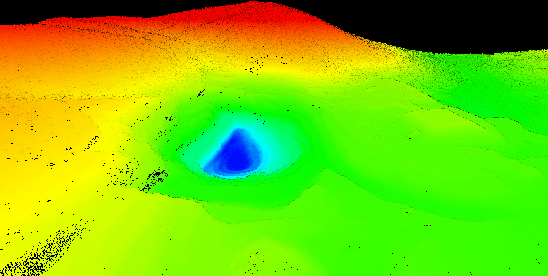
High-Resolution Topographic Mapping
We capture detailed topographic data that supports precise elevation modeling and terrain analysis. Our high-resolution mapping is essential for applications such as land surveying, construction planning, and environmental monitoring, providing the foundational data needed for accurate project planning and execution.
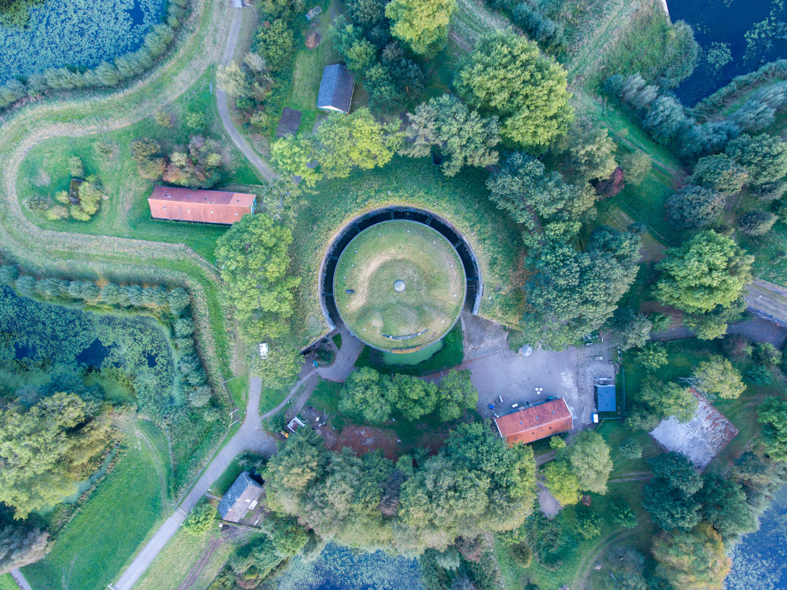
Detailed Vegetation and Biomass Analysis
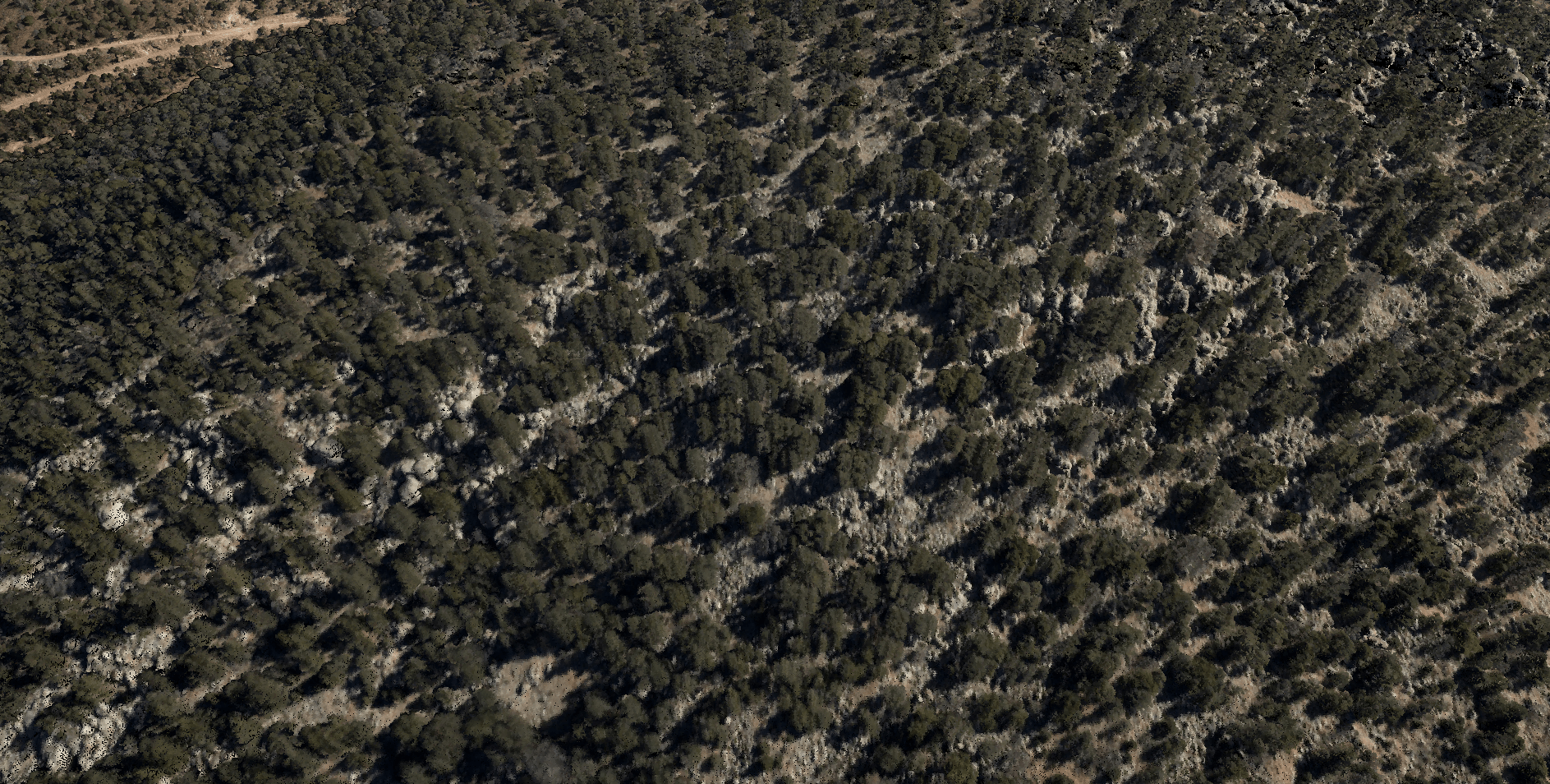
Our LiDAR technology provides accurate measurements of vegetation structure and biomass. This service can include infrared imagery and is crucial for ecological and environmental studies, helping to assess forest health, plan conservation efforts, and manage natural resources effectively.
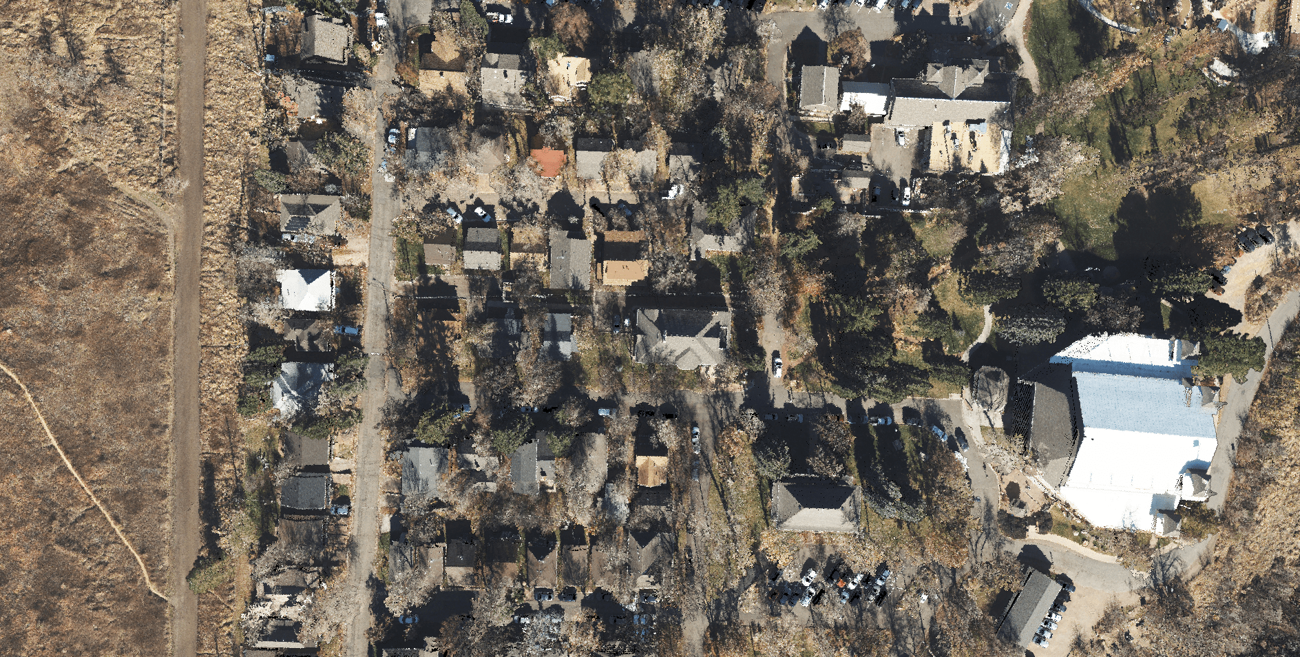
Urban and Rural Infrastructure Modeling
We deliver detailed models of infrastructure in both urban and rural settings. This includes roads, bridges, and buildings, supporting planning, maintenance, and development projects. Our infrastructure modeling helps in identifying structural issues, planning expansions, and ensuring efficient use of resources.
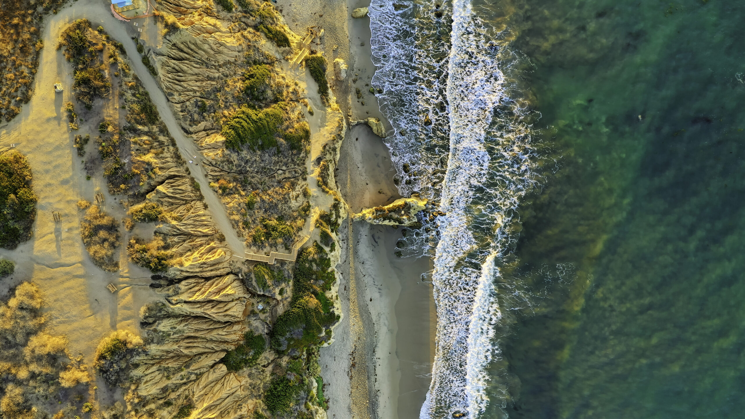
Hydrological and Flood Risk Mapping
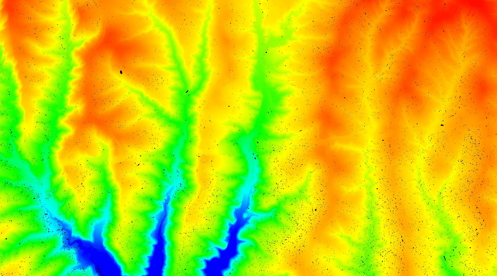
Our services include mapping of hydrological features and flood risk areas. This is essential for water resource management, flood risk assessment, and disaster preparedness. Accurate hydrological mapping helps in planning effective water management strategies and mitigating the impacts of flooding.
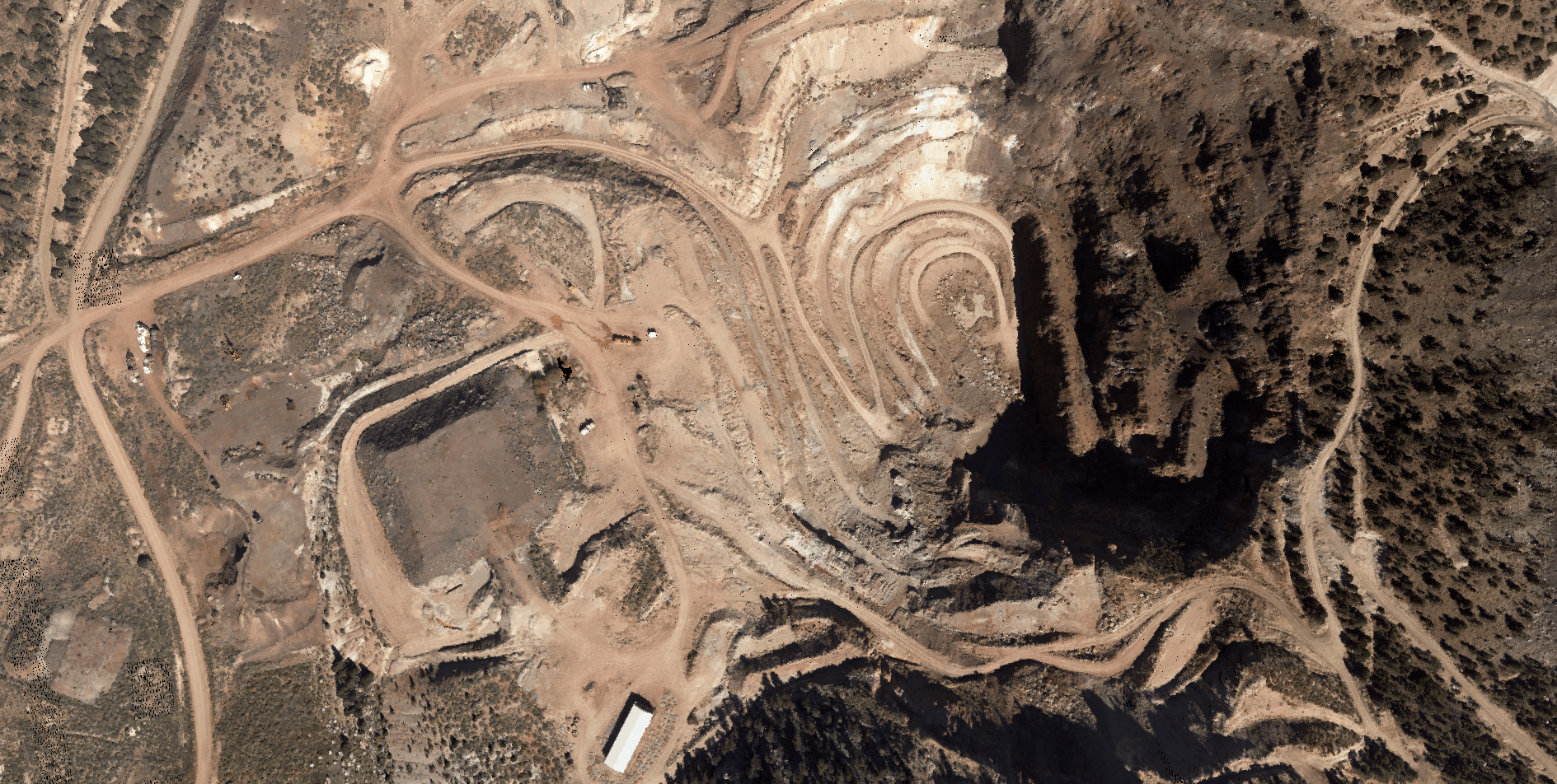
Geological and Quarry Feature Mapping
We provide detailed mapping of geological features and quarry sites. This service supports resource extraction, geological studies, and hazard assessment. Our precise geological mapping helps in identifying mineral deposits, planning excavation activities, and assessing geological hazards for safe and efficient operations.
Achieve Comprehensive Coverage
From vast areas to intricate details, our Aerial LiDAR Mapping Services provide the precise data you need. Call Synergy Mapping, Inc. today to discuss tailored solutions that ensure data uniformity and reliable results for your industry.
Contact Synergy Mapping, Inc.Why Choose Synergy Mapping, Inc.?
Selecting Synergy Mapping, Inc. for your aerial LiDAR mapping needs means partnering with a company dedicated to excellence, innovation, and client satisfaction. Our commitment to utilizing the latest technology, combined with our experienced team and client-centric approach, ensures that we deliver high-quality, reliable results for every project.

Industry Expertise
With decades of experience in aerial photogrammetry and digital mapping, our team possesses deep industry knowledge and a proven track record. This extensive expertise enables us to tackle complex projects and deliver solutions that address the specific challenges and objectives of our clients, ensuring successful outcomes every time.
Leading Technology
We utilize the latest advancements in LiDAR and aerial imaging technology, ensuring superior data quality and accuracy. Our state-of-the-art equipment allows us to capture precise, high-resolution images and data, providing detailed insights that are essential for informed decision-making and project success.

Expert Team
Our professionals are highly skilled in geospatial sciences and aerial surveying, bringing extensive experience to every project. With a deep understanding of the complexities involved in aerial LiDAR mapping, our team ensures that each project is executed with precision and expertise, delivering reliable and actionable data.

Quality Assurance
Every project is executed with strict adherence to the highest standards of data accuracy and reliability. We implement rigorous quality control processes to ensure that our data is accurate, consistent, and dependable, giving you the confidence to make critical decisions based on our results.

Client-Focused
We prioritize our clients’ needs, delivering customized solutions that meet their specific requirements and exceed their expectations. Our client-focused approach means that we work closely with you to understand your unique challenges and goals, ensuring that our services are tailored to provide the best possible outcomes for your project.
Real Results:
Hear What Our Clients Are Saying
Contact Synergy Mapping, Inc.
Ready to enhance your projects with high-definition aerial LiDAR mapping? Contact Synergy Mapping, Inc. today for a consultation on how our services can be tailored to meet your specific needs. Reach out to us via phone or fill out the contact form to learn more about our offerings and start leveraging precise geospatial data for your projects.
FAQs About LiDAR
What is LiDAR?
LiDAR (Light Detection and Ranging) is a remote sensing technology that uses laser light to measure distances and create detailed, high-resolution maps of the Earth’s surface and other objects. A LiDAR system emits laser pulses toward a target, which then reflect back to the sensor. By measuring the time it takes for the light to return, the system calculates the distance to the target. This data is used to generate precise 3D models and topographic maps. LiDAR is widely used in various fields, including geospatial surveying, forestry, archaeology, urban planning, and autonomous vehicle navigation.
What does LiDAR stand for?
LiDAR stands for Light Detection and Ranging. It is sometimes also referred to as Laser Imaging, Detection, and Ranging, though the former is more commonly used.
Can LiDAR penetrate ground?
LiDAR cannot penetrate solid ground. However, it can penetrate through some types of surfaces and materials, like vegetation, allowing for the mapping of ground surfaces underneath tree canopies. This capability is particularly useful in forestry and archaeology, where LiDAR can reveal structures or terrain hidden beneath dense foliage. For subsurface exploration, other technologies such as ground-penetrating radar (GPR) are required.
When was LiDAR invented?
LiDAR technology was developed in the early 1960s, shortly after the invention of the laser. The development of LiDAR is attributed to several researchers and institutions, with significant contributions from NASA and other aerospace organizations. The initial applications of LiDAR were primarily in meteorology and atmospheric studies, where it was used to measure atmospheric components and phenomena. Over the decades, advancements in technology have expanded the applications of LiDAR to include topographic mapping, environmental monitoring, autonomous vehicles, and more.
How does LiDAR see through trees?
LiDAR can “see through” trees by using laser pulses that penetrate gaps in the canopy to reach the ground. When a LiDAR system scans a forested area, it emits thousands of laser pulses per second. Some of these pulses will reflect off leaves and branches, while others will pass through the gaps and reach the ground. The LiDAR sensor collects all the returned pulses, including those from the ground, which are used to create a detailed 3D model of both the canopy and the underlying terrain. This capability allows for accurate mapping of the forest floor and identification of features that are not visible from above the canopy.
