Airborne GPS GNSS Surveying Services
Are you Searching For “Airborne GPS GNSS Surveying Services Near Me?”
Synergy Mapping, Inc. employs Airborne GPS GNSS, providing high-precision locational data essential for a variety of applications from urban planning to environmental monitoring. Utilizing advanced GPS technology and manned aircraft, our services cover Colorado, Nevada, California, and the enitre USA, ensuring detailed and accurate geospatial data. Contact us today to revolutionize how you capture and utilize geographic information.
At Synergy Mapping, Inc., we utilize Airborne GPS GNSS to meet the precise needs of industries such as mining, construction, and governmental planning. Our team is dedicated to delivering superior high-resolution geospatial solutions, utilizing cutting-edge GPS and GNSS technology alongside expert professionals to ensure comprehensive coverage and unmatched detail across various sectors.

An Introduction to Synergy Mapping, Inc.
Welcome to Synergy Mapping, your premier provider of Airborne GPS GNSS Surveying services. With state-of-the-art Global Navigation Satellite System (GNSS) technology and experienced professionals, we deliver unmatched precision in aerial positioning and mapping. Serving sectors such as land surveying, construction, and resource management, our GPS GNSS surveying services ensure that you receive the most accurate spatial data available, enhancing project efficiency and reliability.
Precision Positioning for Complex Projects
Elevate your project accuracy with Synergy Mapping’s advanced GPS GNSS Surveying. Discover how our precision positioning can transform your surveying and mapping needs.
Our services cater to a range of industries
Synergy Mapping, Inc. offers Airborne GPS GNSS Surveying services, which are vital across various sectors, providing precise locational data and insights to support a wide range of professional activities:
Engineering & Construction
Our Airborne GPS GNSS surveying with IMU Integration is critical for construction companies engaged in extensive projects. By providing pinpoint locational data, we help in accurate site planning, monitoring, and tracking the progress of construction, ensuring resources are utilized efficiently and projects adhere to timelines.
Architecture & Urban Planning
Architects and urban planners rely on our precise GNSS data to gather detailed information on land topography and infrastructure. This accuracy is essential for the seamless integration of new developments into existing urban environments, facilitating effective planning and precise implementation.
Environmental Conservation
We support environmental conservation initiatives by offering precise Airborne GPS GNSS data that aids in environmental monitoring, land use studies, and conservation projects. These services provide critical insights into natural resource management and help monitor ecological health accurately.
Infrastructure Development
Airborne GPS GNSS surveying with IMU Integration delivers exact and comprehensive data crucial for the development and upkeep of infrastructure. This includes accurate mapping of road networks, utilities, and other vital infrastructure elements, which are indispensable for detailed project planning and thorough assessments.
Forestry & Natural Resources Management
In forestry and natural resource management, our services provide essential data for monitoring forest health and managing resources efficiently, ensuring sustainable practices and compliance with environmental standards.
Government
Government agencies utilize our Airborne GPS GNSS surveying with IMU Integration for various purposes, including policy-making, land registry updates, and administrative functions. Our reliable and accurate data supports informed decision-making and enhances public services and community planning.
Our Airborne GPS GNSS with IMU Integration highlights our role as a versatile and crucial service provider in the realm of geospatial analysis and surveying, dedicated to exceeding the specific needs of our diverse clientele.
Revolutionize Your Projects with High-Precision GPS Surveying
Elevate your surveying standards with our Airborne GPS GNSS Surveying services. Contact Synergy Mapping, Inc. today to discover how our advanced technology and expert services can transform your project management and execution.
Contact Synergy Mapping, Inc.Benefits of Using Synergy Mapping, Inc.
Unparalleled Precision: Our GPS GNSS technology offers unmatched accuracy in geographic positioning, which is indispensable for conducting detailed site analysis, precise mapping, and thorough project planning. This high level of precision is crucial for complex engineering projects, environmental studies, and large-scale constructions where every detail matters.
Efficient and Rapid Service: We understand the importance of maintaining project timelines, which is why we focus on quick deployment and fast data processing. Our streamlined operations ensure that your project remains on schedule without compromising the quality or accuracy of the data provided.
Customized Industry Solutions: We specifically tailor our surveying solutions to meet the unique demands and challenges of various sectors, including mining, construction, and governmental projects. Our adaptable services ensure that every client receives personalized attention that directly addresses their specific project requirements.
Wide Coverage Area: Synergy Mapping, Inc.’s services extend across Colorado, Nevada, California and the entire United States providing broad accessibility and convenience. This extensive reach allows us to cater to a diverse range of clients and projects, bringing our top-tier surveying solutions to large geographical areas.
Cost-Effective: Leveraging advanced technology and efficient processes, we deliver superior value GPS GNSS surveying. Our cost-effective solutions ensure that clients receive the highest quality services at a competitive price, maximizing their investment in our geospatial data.
Our Airborne GPS GNSS Surveying Services
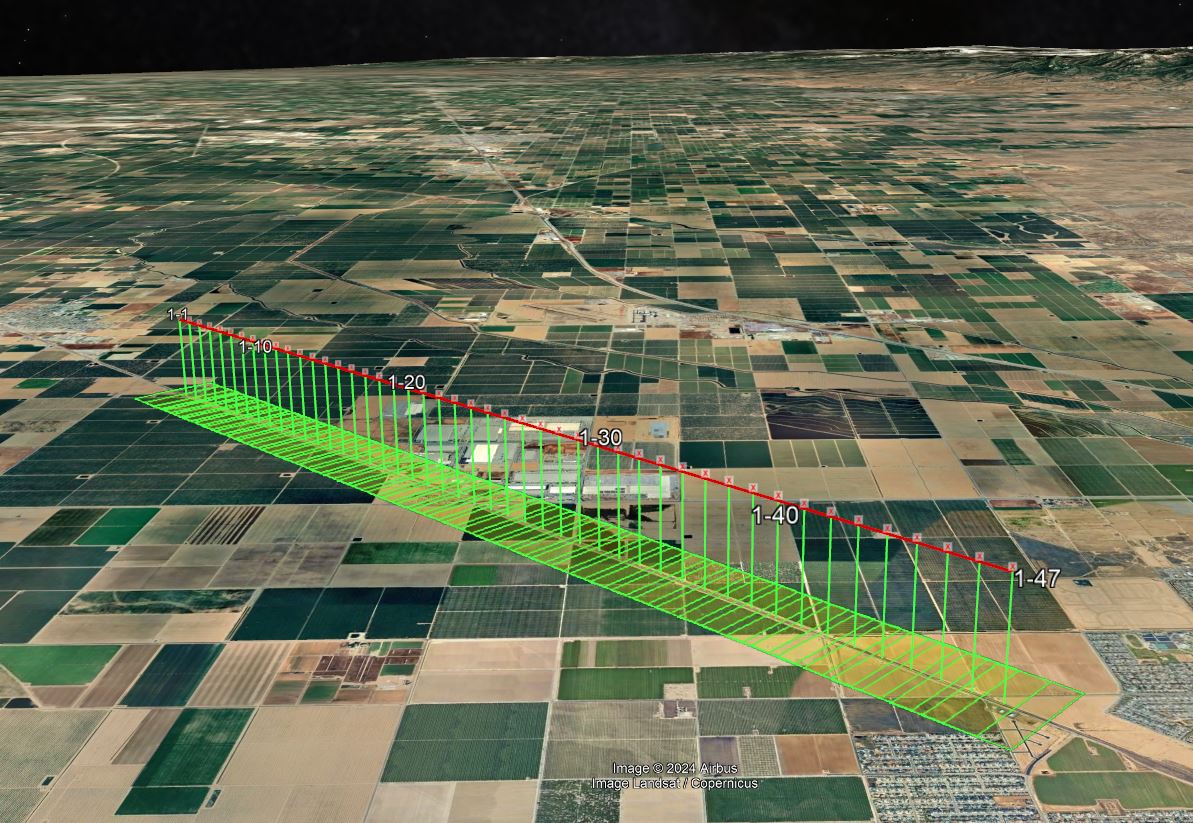
Airborne GPS GNSS Surveying
Airborne GPS GNSS surveying utilizes the latest in satellite navigation technology combined with high-resolution imaging to offer comprehensive locational data over large areas. This service is crucial for projects requiring precise geographical positioning and topographic data.

Aerial Mapping with GPS GNSS
Integrating GNSS data into our aerial mapping processes allows for exceptionally accurate maps. This service benefits large-scale land development, infrastructure projects, and environmental conservation by providing precise, up-to-date geographic information.
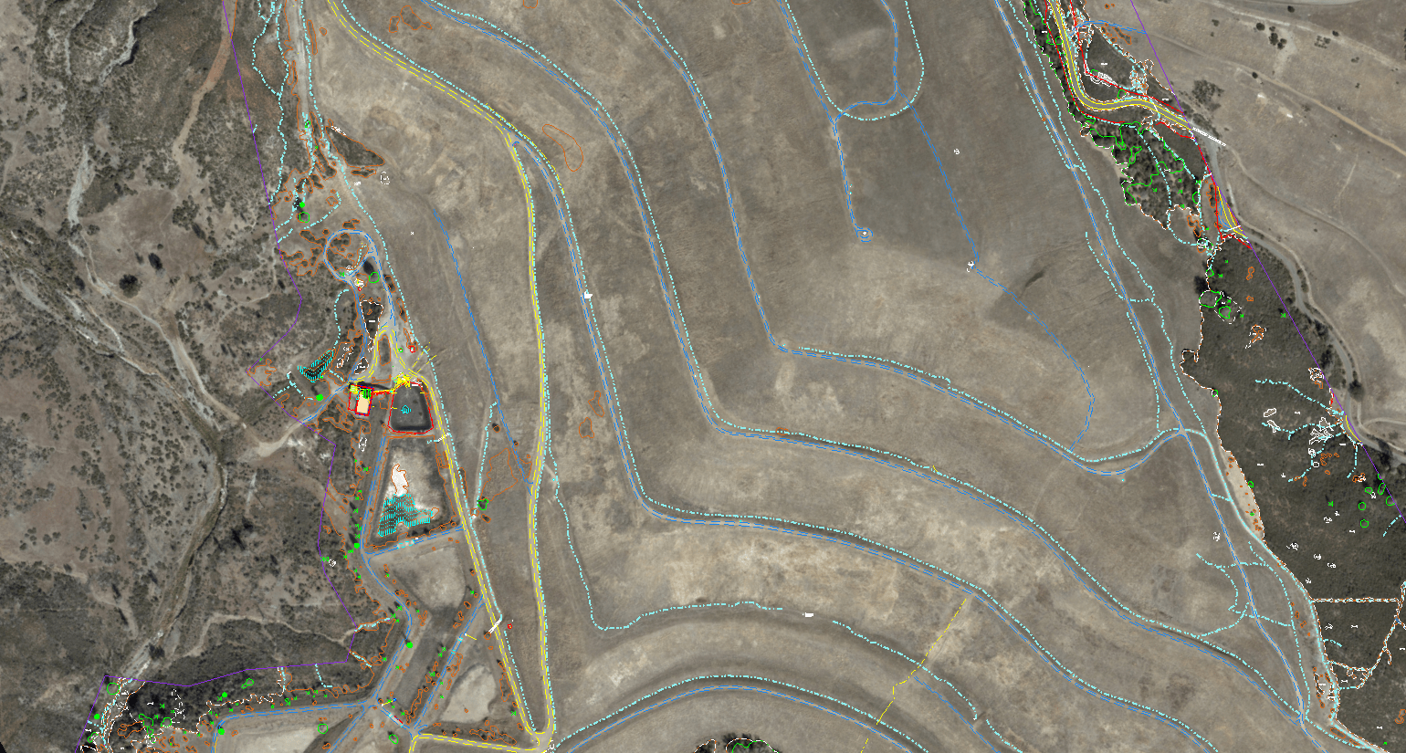
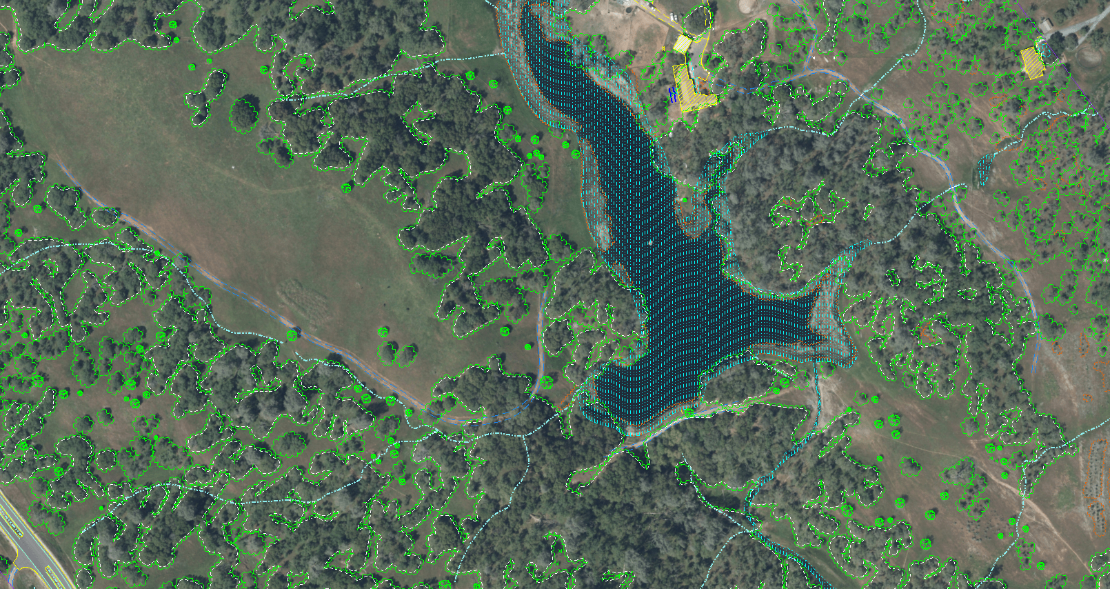
Aerial Imaging with GPS Data
By embedding GPS data into aerial images, we provide clients with images that not only capture the visual details but also precise locational information. This dual data stream is invaluable for industries like mining, forestry, and urban development.

Inertial Measurement Unit (IMU) Integration
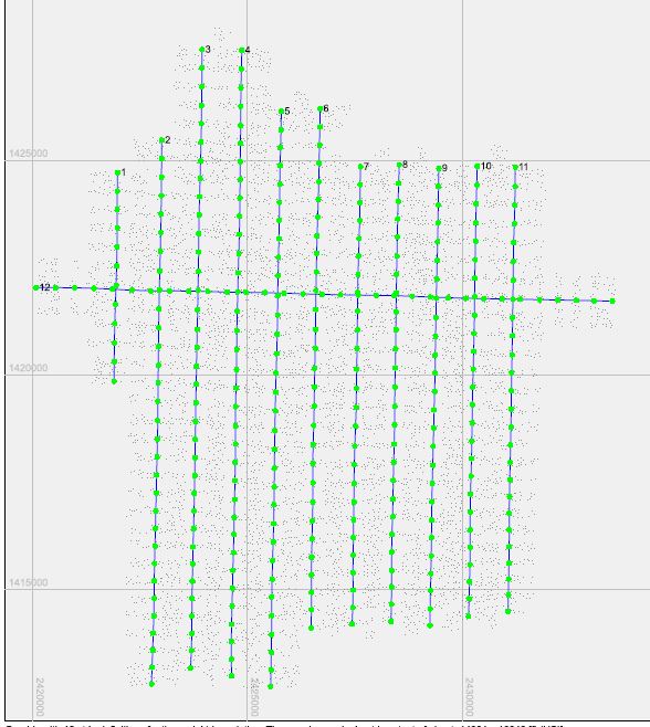
Our surveying services include the integration of IMUs to enhance the accuracy of the GNSS data. This combination is particularly effective in challenging environments where high fidelity in motion tracking and orientation is required.
Optimize Your Geospatial Projects with Synergy Mapping
Implement the most precise positioning technology available with Synergy Mapping’s Airborne GPS GNSS Surveying services.
Contact Synergy Mapping, Inc. today to benefit from our expertise in geospatial precision.Why Choose Synergy Mapping, Inc.?
At Synergy Mapping, Inc., we are recognized as a leading provider of comprehensive Airborne GPS GNSS Surveying services. Our unwavering commitment to excellence and precision in delivering high-resolution geospatial data sets us apart in the industry, ensuring that every project we undertake meets the most stringent standards of detail and quality.

Advanced GNSS Technology
At Synergy Mapping, Inc., we harness the latest advancements in Global Navigation Satellite System technology to provide the most precise and reliable geospatial data available. This technology is crucial for modern surveying, where accuracy and dependability are paramount for successful project outcomes.

Expertise in Geospatial Services
Our team of experts boasts extensive skills in both the technical execution and practical application of GPS GNSS surveying. We ensure that every dataset is not only accurate but also fully interpretable, providing comprehensive solutions that are instrumental in the planning and execution of complex projects.

Customized Solutions
We pride ourselves on our ability to tailor our aerial surveying services to perfectly fit the specific needs and challenges of different industries. This bespoke approach guarantees that our solutions are both practical and effective, directly contributing to the success of each project.

Extensive Coverage
With operations spanning Colorado, Nevada, California and the USA, Synergy Mapping, Inc. offers wide-reaching service coverage. This capability makes our high-precision surveying services available to a broad array of clients, enhancing accessibility and facilitating large-scale operations.

Dedicated Customer Support
Our dedication to customer service is unmatched. We provide continuous support throughout the duration of your project, ensuring that your needs are met and your expectations are exceeded. Our team is committed to assisting you at every step, ensuring a smooth and successful collaboration.
Real Results:
Hear What Our Clients Are Saying
Contact Synergy Mapping, Inc.
Partner with Synergy Mapping, Inc. for state-of-the-art GPS GNSS Surveying and experience how our precision services can significantly benefit your projects. Reach out now for a comprehensive consultation and to start with advanced geospatial solutions.
FAQs Airborne GPS GNSS Positioning
What is GNSS in surveying?
GNSS stands for Global Navigation Satellite System, and in surveying, it refers to the use of satellite constellations to determine precise geospatial positions. GNSS surveying is used to pinpoint exact coordinates on the Earth, which is crucial for mapping, construction, and other geospatial applications.
What is an inertial measurement unit (IMU)?
An inertial measurement unit (IMU) is a device that measures and reports a body’s specific force, angular rate, and sometimes the magnetic field surrounding the body, using a combination of accelerometers and gyroscopes, sometimes magnetometers.
How do inertial measurement units work?
IMUs work by detecting changes in rotational attributes like pitch, roll, and yaw as well as acceleration in multiple directions, through gyroscopes and accelerometers. These devices track motion and orientation, which, when integrated with GNSS data, enhances the accuracy of position tracking.
What is the difference between GPS and GNSS positioning?
While GPS (Global Positioning System) is a type of GNSS, it specifically refers to the USA’s system of satellites. GNSS includes systems from other countries as well, such as GLONASS (Russia), Galileo (Europe), and BeiDou (China). GNSS provides more satellites, which means it can offer more precision and reliability than using GPS alone.
What is IMU in GNSS?
In GNSS, an IMU works to provide additional data points by capturing angular velocity and linear acceleration, which helps in correcting any GPS signal discrepancies and improves accuracy in environments where GNSS signals are degraded or obstructed.
What positioning information can be provided through GNSS?
GNSS can provide several types of information, including latitude, longitude, elevation, and time, as accurately as possible. It is essential for any application that requires precise positioning data, such as navigation, mapping, surveying, and geotagging.
