Large Format Photography Services
Are you Searching For “Large Format Aerial Photography Services Near Me?”
Synergy Mapping, Inc. specializes in large format aerial photography, capturing expansive, high-resolution images perfect for detailed analysis in industries like urban planning, environmental research, and large-scale construction. Our services, available across Colorado, Nevada, California and the United States, utilize manned aircraft to provide unparalleled image quality over wide areas. Contact us today to elevate the detail and scope of your projects with our large format photography.
Synergy Mapping, Inc., where large format aerial photography aligns perfectly with specific industry requirements. We are committed to delivering exceptional high-resolution large format imaging solutions, utilizing advanced technology and a team of skilled professionals to ensure expansive and detailed coverage for diverse sectors.

An Introduction to Synergy Mapping, Inc.
Welcome to Synergy Mapping, your expert provider of large format aerial photography services. With state-of-the-art technology and a professional team, we cater to a broad spectrum of industries, delivering high-resolution aerial imagery that captures vast landscapes with incredible detail. Serving areas including Colorado, Nevada, California and the United States, we are committed to providing precision and clarity in every project.
Capture Vast Details With Large Format Photography
Elevate your project with our large format aerial photography. From urban development to environmental research, discover how our expansive and detailed images can transform your project’s scope.
Our services cater to a range of industries
At Synergy Mapping, Inc., our large format aerial photography is critical across various sectors, providing essential data and insights to enhance a range of professional activities:
Engineering & Construction
Our large format aerial photos are invaluable for construction companies undertaking massive projects. By offering expansive and detailed visual documentation, we facilitate thorough planning, effective monitoring, and precise tracking of construction progress, ensuring efficient resource utilization and timely project completion.
Architecture & Urban Planning
Urban planners and architects benefit from our large format photography, which provides extensive, detailed views of cityscapes, infrastructure, and spatial layouts. This high-level detail is crucial for the effective integration of new developments into existing environments and aids in meticulous planning and implementation.
Environmental Conservation
We support environmental conservation efforts with our large format aerial photography, which captures extensive natural areas in detail. This capability is crucial for monitoring ecosystems, conducting land use studies, and implementing conservation projects, providing insights that help manage and protect natural resources.
Infrastructure Development
Our services deliver broad and precise data essential for developing and maintaining infrastructure. Large format aerial photos provide comprehensive views of road networks, utilities, and other critical infrastructure, vital for extensive project planning and thorough assessments.
Forestry & Natural Resources Management
In forestry and resource management, our large format photos are essential for monitoring forest health and managing resources over vast areas. The detailed imagery supports sustainable management practices by providing clear views of vegetation and terrain.
Government
Government agencies utilize our large format aerial photography for a variety of purposes, such as policy development, land registry updates, and other administrative tasks. The extensive and detailed data we provide aids in informed decision-making and enhances public service and community planning.
These services highlight our role as a flexible and indispensable provider of aerial imaging solutions, committed to delivering exceptional quality that meets and exceeds the diverse needs of our clients.
Transform Your Project With High-Resolution Large Format Images
Elevate your project’s standards with our large format aerial photography. Contact Synergy Mapping, Inc. today to learn how our advanced imaging solutions can provide the depth and clarity your project needs.
Contact Synergy Mapping, Inc.Benefits of Using Synergy Mapping, Inc.
Superior Image Quality: Our large format aerial photos are not just images; they are expansive canvases capturing vast areas with an incredible level of detail. This exceptional image quality makes them ideal for projects that demand extensive visual documentation such as landscape assessments, urban planning, and large-scale development projects. The enhanced resolution ensures that every aspect of the terrain is captured with clarity, making it perfect for detailed analysis and decision-making.
Efficient and Rapid Service: At Synergy Mapping, Inc., we understand the importance of meeting project timelines, which is why we prioritize efficient service delivery. We ensure quick deployment of our aerial teams and utilize streamlined processes for fast image processing. This rapid response allows us to help you maintain your project schedule, ensuring that critical milestones are met without delay.
Customized Industry Solutions: Recognizing the diverse needs of various sectors, we have tailored our large format aerial photography services to specifically meet the demands of industries such as mining, construction, and environmental research. Our customized solutions take into account the unique challenges and requirements of each sector, providing targeted insights that facilitate informed decision-making and strategic planning.
Wide Coverage Area: Our services extend across multiple states, including Colorado, Nevada, California and the United States, enabling us to cater to a broad spectrum of client needs regardless of their geographic location. This extensive coverage ensures that clients across a wide area can benefit from our high-quality large format aerial photography, making it easier to manage projects that span large distances.
Cost-Effective: Leveraging advanced technology and maintaining efficient operational processes, Synergy Mapping, Inc. offers cost-effective large format aerial photography solutions. Our approach ensures that you receive unparalleled image quality and service without breaking your budget. By investing in the latest imaging technologies and optimizing our flight operations, we are able to provide high-value services that contribute significantly to the success of your projects.
Our Large Format Photography Services

Large Format Aerial Photography
Using state-of-the-art cameras, our large format aerial photography captures images with incredible detail and dynamic range, ideal for projects requiring high-impact visuals and extensive geographic coverage.
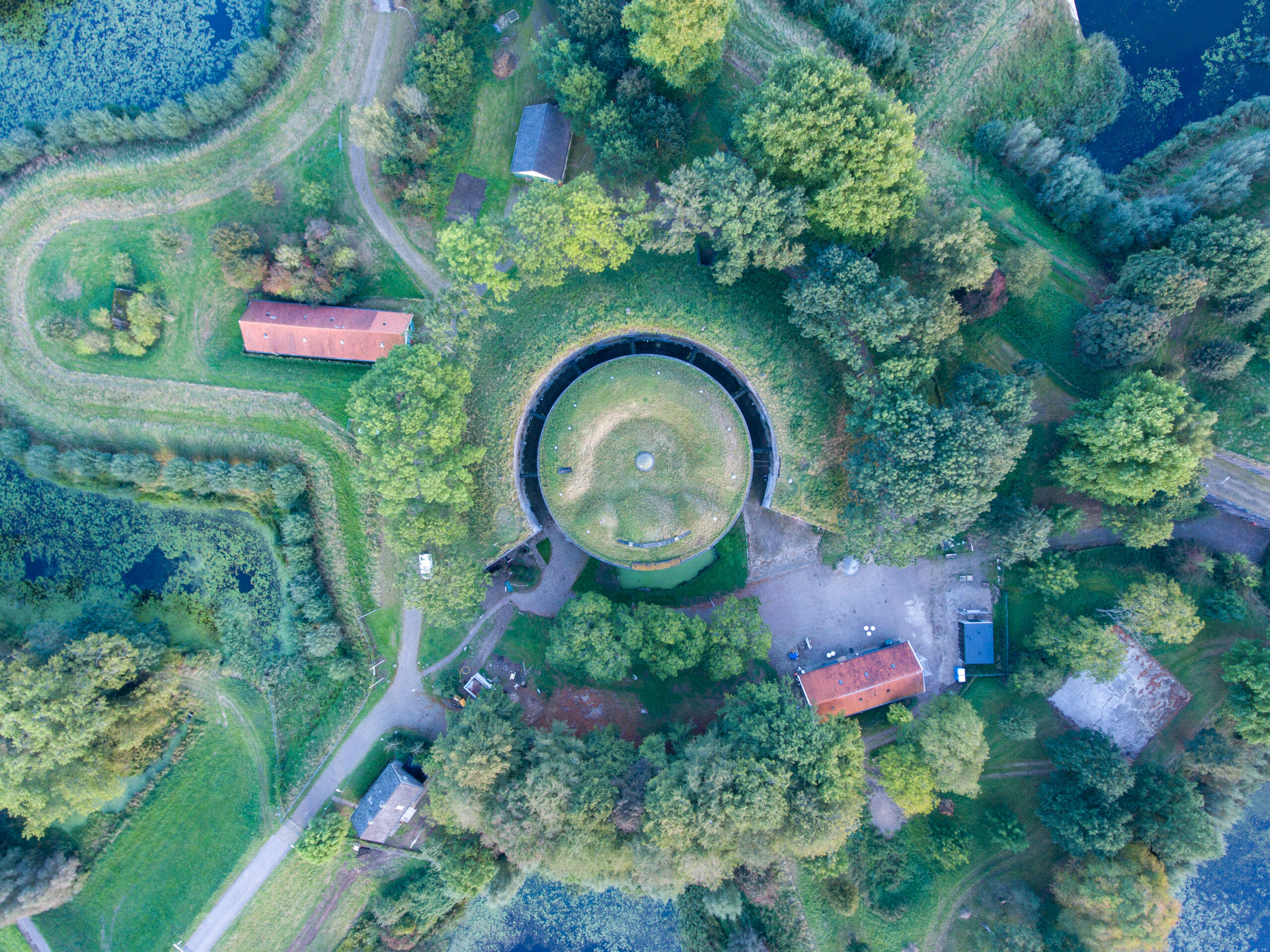
Wide Format Aerial Mapping
Our wide format aerial mapping services provide comprehensive coverage, crucial for accurate planning and management in urban development, environmental studies, and resource management. The enhanced resolution aids in the precise mapping of large areas unlike medium format photography.

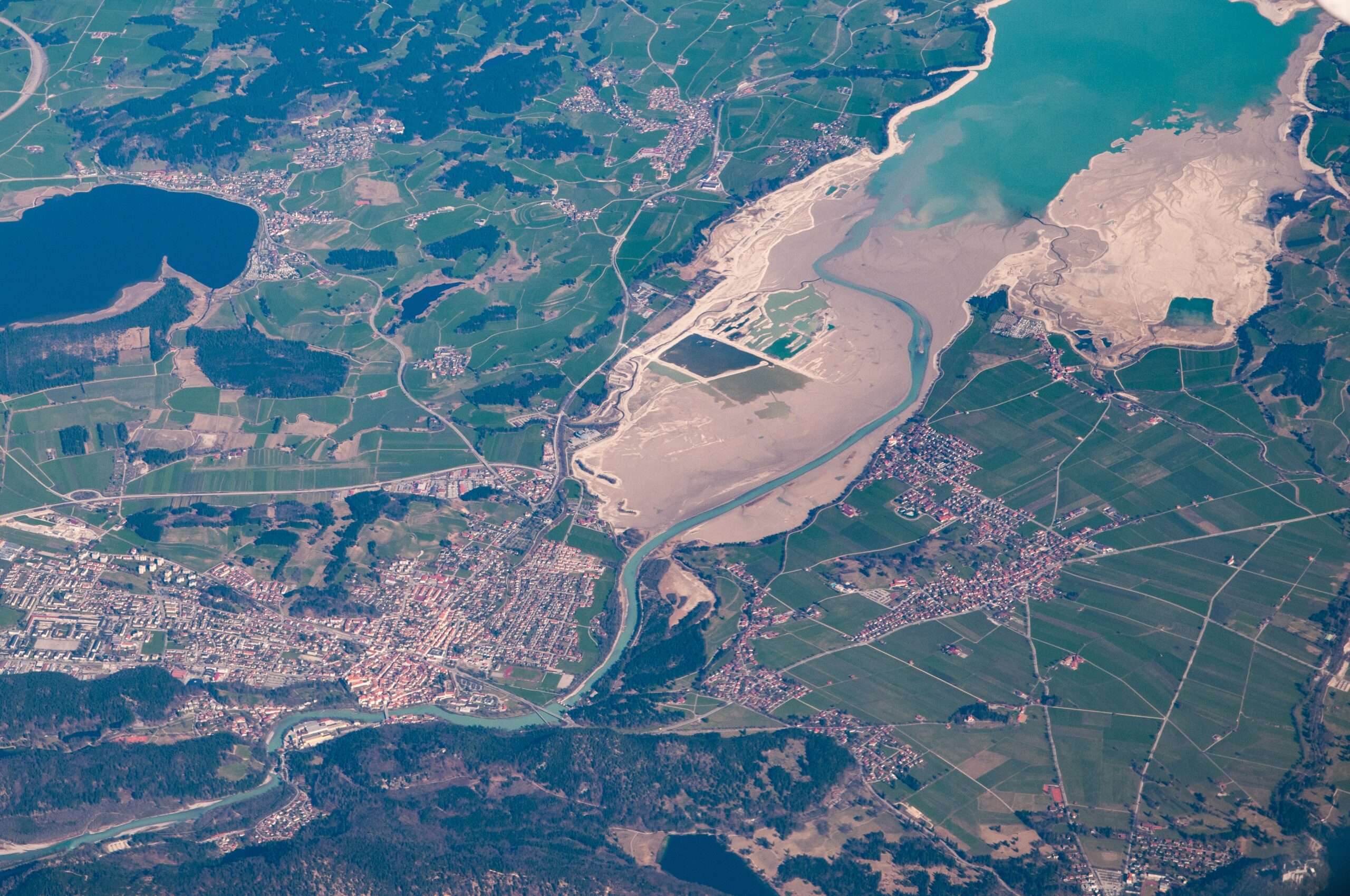
Aerial Imaging Services
We deliver high-quality, wide format aerial imaging suitable for a variety of applications, from documenting large-scale events to detailed environmental monitoring. Our services ensure you receive the most detailed and useful imagery available.
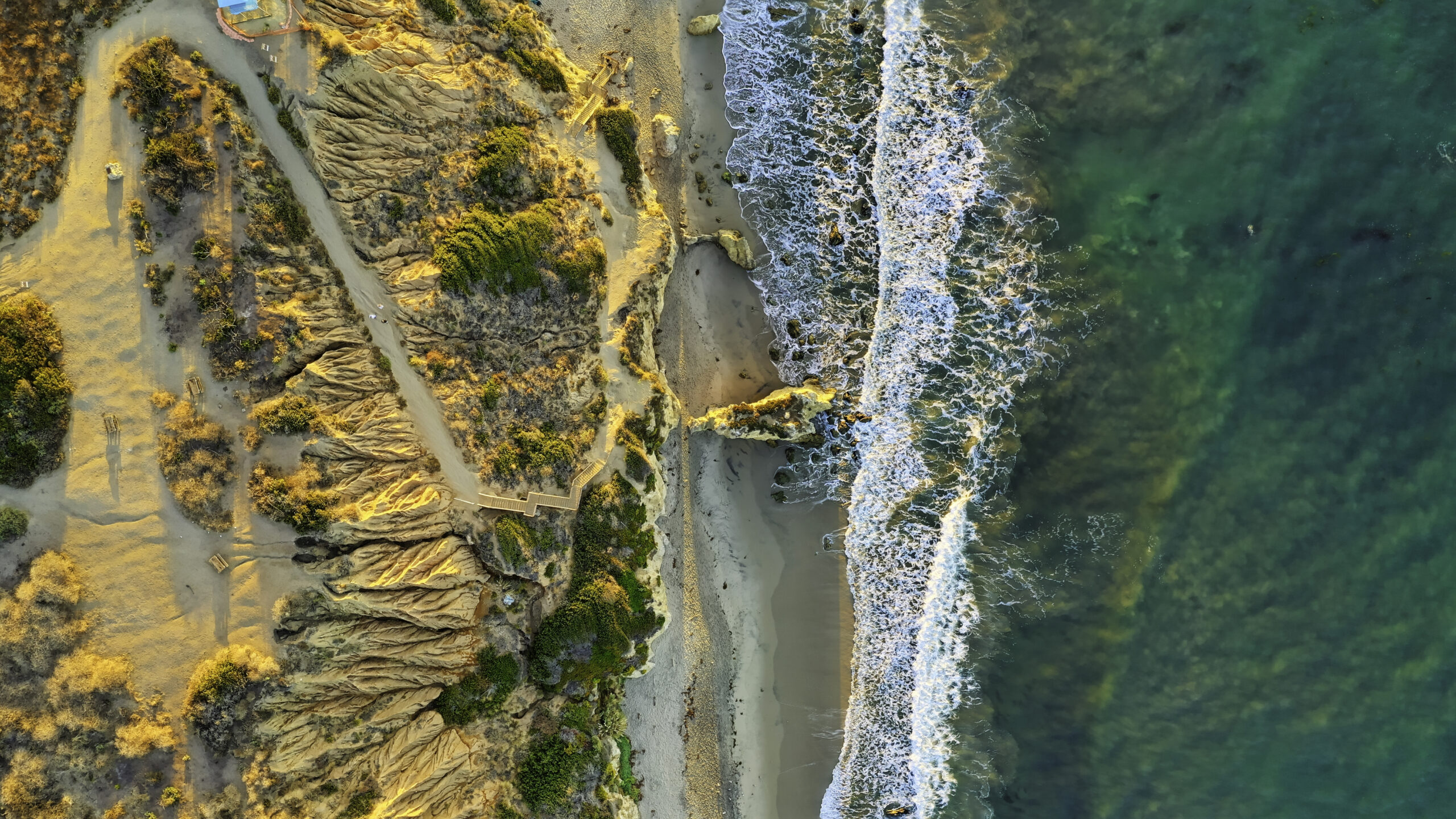
Images of Aerial Landscapes
Capture sprawling landscapes with our large format aerial photography. Ideal for environmental conservation and land use planning, these images provide a detailed perspective that supports effective decision-making and project development.

Start Your Project with Synergy Mapping
Ready to harness the expansive capabilities of large format aerial photography?
Contact Synergy Mapping, Inc. now and kickstart your project with unparalleled imagery quality.Why Choose Synergy Mapping, Inc.?
At Synergy Mapping, Inc., we are recognized as a leader in providing comprehensive large format aerial photography services. Our commitment to excellence and precision in large format imaging sets us apart in the industry, ensuring that every project we undertake is executed with the highest standards of detail and quality.

Advanced Equipment
Our large format aerial cameras represent the pinnacle of imaging technology, specifically engineered to capture sweeping landscapes and detailed site features over extensive areas without losing detail or clarity. These sophisticated cameras allow us to produce exceptionally clear and comprehensive images that are crucial for accurate analysis and decision-making in large-scale projects.

Expertise in Aerial Imaging
With years of experience and a deep understanding of aerial dynamics, our team at Synergy Mapping, Inc. excels not only in capturing but also in interpreting high-resolution aerial imagery. We are skilled in delivering customized imaging solutions that are precisely tailored to meet the unique needs and challenges of each project, ensuring results that go beyond expectations.

Customized Solutions
We recognize that each industry has specific requirements and challenges. At Synergy Mapping, Inc., we meticulously adapt our large format photography services to align with the particular needs of various sectors, such as urban planning, environmental monitoring, and resource management. This tailored approach ensures that our imagery provides the essential insights and detailed data necessary for the success of your projects.

Extensive Coverage
Our operations extend across Colorado, Nevada, California and the United States, enabling us to offer comprehensive large format aerial photography services across a broad geographic area. This extensive coverage ensures that we can cater to a diverse client base, providing accessibility and convenience, no matter the location of your project.

Dedicated Customer Support
At Synergy Mapping, Inc., we are committed to ensuring client satisfaction at every stage of a project. From the initial consultation and data capture to the final delivery of imagery and beyond, our dedicated support team is always available to assist with any questions, adjustments, or additional requirements. Our goal is to make your experience as smooth and productive as possible, ensuring that your project benefits from continuous and expert support.
Real Results:
Hear What Our Clients Are Saying
Contact Synergy Mapping, Inc.
Leverage the scale and precision of large format aerial photography with Synergy Mapping, Inc. Reach out now for a detailed consultation and elevate your project with our expert imaging solutions.
FAQs About Large Format Photography
What is large format photography?
Large format photography refers to the use of camera equipment that captures images on film or digital sensors significantly larger than the standard 35mm. It is known for superior resolution, greater detail, and excellent control over depth of field, making it ideal for capturing detailed aerial views of large landscapes.
Is large format photography worth it?
Yes, large format photography is highly valuable, especially in professional settings where image quality and detail are paramount. Its ability to capture vast areas with incredible clarity makes it indispensable for projects that require detailed analysis and high-quality visual documentation.
Why large format photography?
Large format photography allows for higher resolution and more detailed imaging compared to smaller formats. This makes it particularly suitable for aerial photography, where capturing every detail from a great distance is crucial for accurate analysis and decision-making.
What is large scale aerial photography?
Large scale aerial photography involves capturing aerial images of large geographical areas with high detail and accuracy. It is used extensively in urban planning, environmental monitoring, and resource management to provide a comprehensive overview of large regions.
How does large format aerial photography assist land surveyors?
Large format aerial photography provides land surveyors with detailed, high-resolution images that are crucial for mapping, planning, and conducting surveys over large tracts of land. This technology enables precise measurements and detailed visual data, helping surveyors accurately assess and document geographical and structural features.
