Black and White Aerial Photography Services
Synergy Mapping, Inc. offers exceptional black and white aerial photography services, designed to meet the complex needs of various industries including construction, environmental monitoring, and urban planning. Our detailed monochrome imagery provides stark contrasts and enhanced clarity, perfect for diverse applications. Connect with us today to learn how our specialized black and white aerial photos can enhance the precision and insight of your projects.
Synergy Mapping, Inc. is a trusted leader in aerial photography services, specializing in black and white imaging. Operating in California, Colorado, Nevada, and the entire United States. we offer comprehensive services to industries ranging from engineering and construction to urban planning, environmental conservation, and forestry management. Our solutions are designed to cater to various needs, delivering unparalleled insights and helping professionals make informed decisions. With a skilled team, cutting-edge technology, and years of experience, we are dedicated to delivering value in every project.

An Introduction to Synergy Mapping, Inc.
Welcome to Synergy Mapping, your leading provider of professional black and white aerial photography services. Operating across California, Colorado, Nevada, and the entire United States, we are committed to delivering high-quality aerial imaging solutions. Whether you need detailed mapping for expansive land surveys or precise imaging for historical documentation, our black and white aerial photography offers unparalleled detail and accuracy, ensuring superior outcomes for any project.
Capture Every Detail
Unlock the precision and depth of black and white aerial photography for your next project. Contact Synergy Mapping, Inc. today to discuss your specific needs and how we can assist.
Contact Synergy Mapping, Inc. today —to enhance your project with our advances imaging solutions.Our services cater to a range of industries
At Synergy Mapping, Inc., our black and white aerial photography services are vital across multiple sectors, delivering essential data and insights to enhance a variety of professional tasks:
Engineering & Construction
Our black and white aerial photos are crucial for construction companies tackling large-scale projects. Providing clear, detailed visual documentation, we aid in planning, monitoring, and tracking construction progress, ensuring efficient resource use and timely project completion.
Architecture & Urban Planning
Urban planners and designers rely on our high-contrast black and white aerial photography to obtain precise data on urban landscapes, infrastructures, and spatial configurations. This critical information helps seamlessly integrate new developments with existing structures, supporting effective planning and execution.
Environmental Conservation
We are committed to bolstering environmental conservation efforts through our aerial photography services. Offering essential data for environmental monitoring, land use studies, and conservation initiatives, our imagery provides deep insights into natural resource management and ecological research.
Infrastructure Development
Our services supply accurate and detailed data essential for developing and maintaining infrastructure. Our black and white aerial photos offer comprehensive insights into road networks, public utilities, and other crucial infrastructure elements, vital for extensive project planning, evaluation, and maintenance.
Forestry & Natural Resources Management
Our black and white aerial imagery plays a critical role in forestry and natural resources management. By facilitating the monitoring of forest health, tracking wildlife habitats, and managing resources sustainably, our services ensure environmental integrity and adherence to conservation standards.
Government
Governmental bodies utilize our black and white aerial photography for various purposes, including policy formulation, land registry updates, and other administrative tasks. Our precise and reliable data supports informed policymaking and effective governance, thereby improving public services and community planning.
Each sector derives distinct advantages from our specialized black and white aerial photography services, highlighting our role as a critical and versatile provider in the field of geospatial analysis and surveying. At Synergy Mapping, we are devoted to offering services that not only fulfill but surpass the unique requirements of our diverse client base.
See the Difference with Synergy
Elevate your project’s visual documentation with our high-contrast black and white aerial photography. Ready to see how? Let’s talk.
Contact Syneregy Mapping, Inc. for a personalized consultationBenefits of Using Synergy Mapping, Inc.
Precision and Clarity: Our black and white aerial photos are distinguished by their sharp resolution and strong contrasts, providing a distinct clarity that is ideal for various applications, including environmental monitoring, construction, and urban planning. This monochrome detail highlights subtle nuances that are crucial for thorough analysis and documentation.
Rapid Turnaround: Recognizing the crucial role of time in project management, we prioritize the swift deployment of our aerial teams and expedite the processing of images to adhere to strict deadlines. This ensures that your project remains on schedule without sacrificing the quality of the imagery.
Adaptability: We tailor our services to meet the diverse needs of various industries such as land surveying, construction, urban development, and mining. Our specialized support is designed to address the unique challenges faced by each sector, ensuring that our solutions are both effective and relevant.
Comprehensive Coverage: Utilizing advanced manned aircraft equipped with high-end cameras, we can cover vast areas in a single flight, capturing comprehensive data. This capability is essential for conducting detailed analysis and supports informed decision-making for large-scale projects.
Cost Efficiency: Leveraging efficient processes and state-of-the-art technology, Synergy Mapping, Inc. delivers cost-effective black and white aerial photography solutions. Our approach ensures that clients receive the highest quality imagery at a competitive price, maximizing the value of their investment in our services.
Our Black & White Aerial Photography Services

Black and White Aerial Photography
Our black and white aerial photography service is ideal for projects that require high contrast and detailed textural insights, which color photos might not capture as effectively. This service proves invaluable for geological surveys, archaeological sites, and extensive construction projects where every detail counts.
Monochrome Aerial Mapping
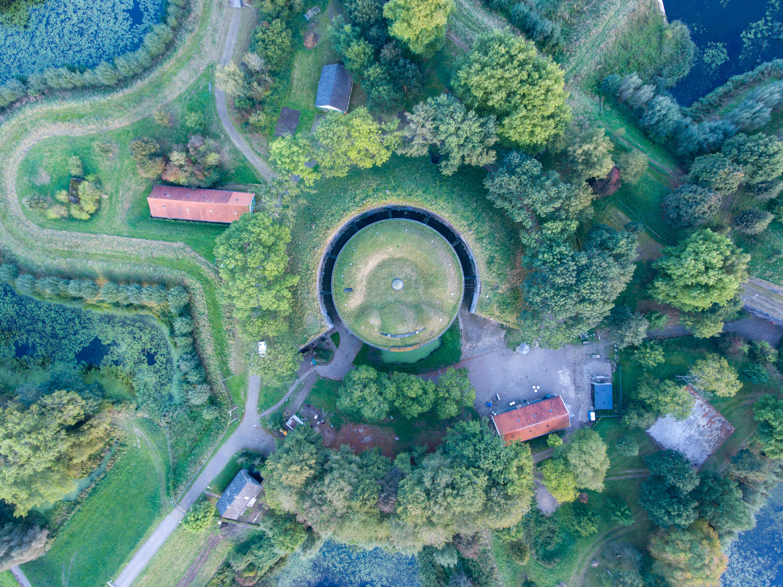
Leveraging state-of-the-art technology, Synergy Mapping excels in monochrome aerial mapping, providing accurate and detailed geographic data. Our black and white aerial photos are particularly useful for mapping diverse terrains and densely built environments, aiding everything from city planning to environmental conservation.
B&W Aerial Imaging Services
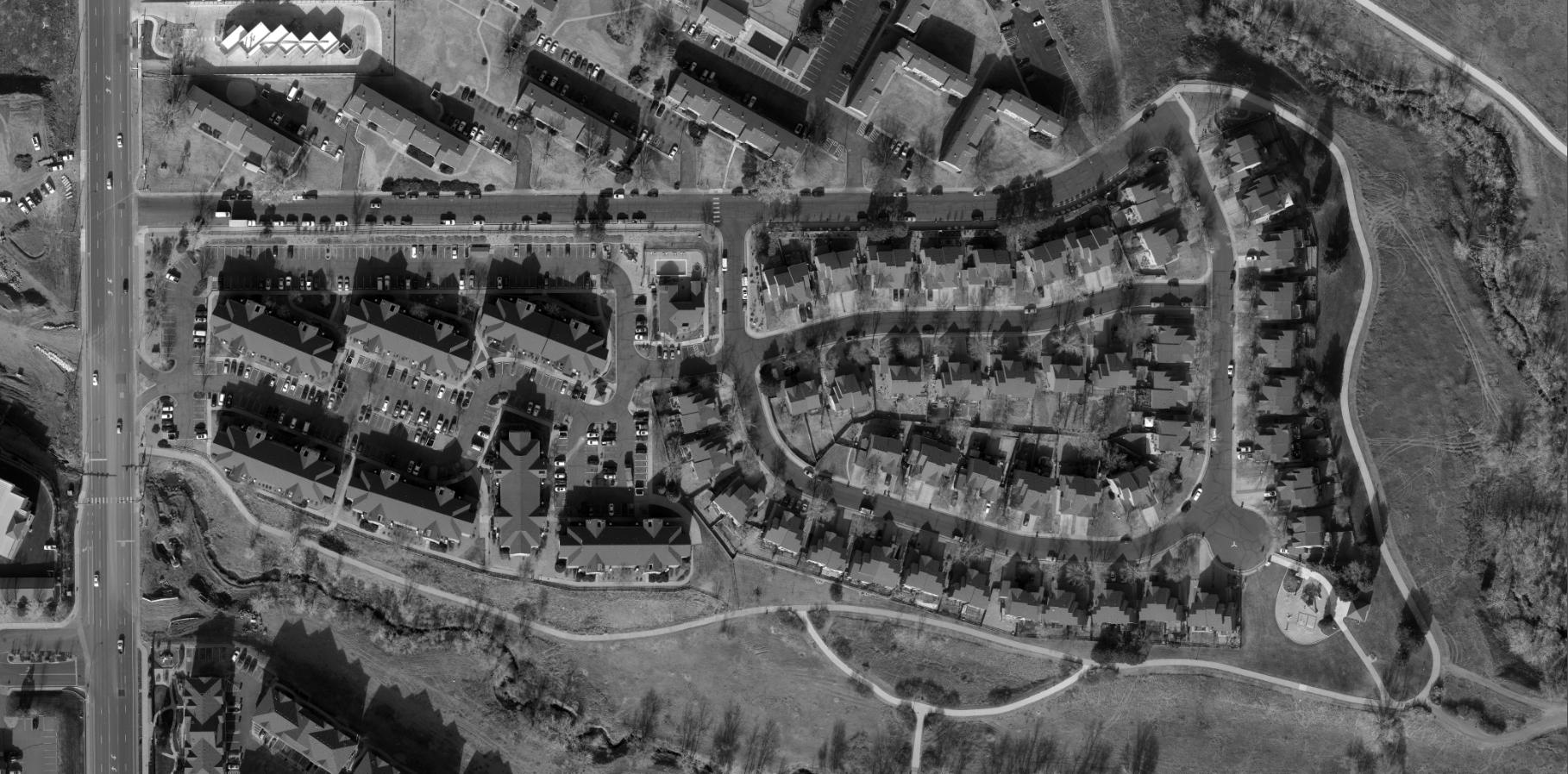
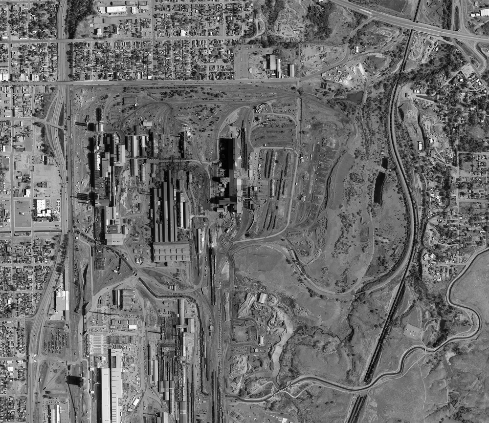
We offer comprehensive b&w aerial imaging services, featuring both color and black and white options to meet the varied needs of our clients. Our black and white imagery is especially favored for its ability to highlight structural features and elevation contrasts without the distraction of color.
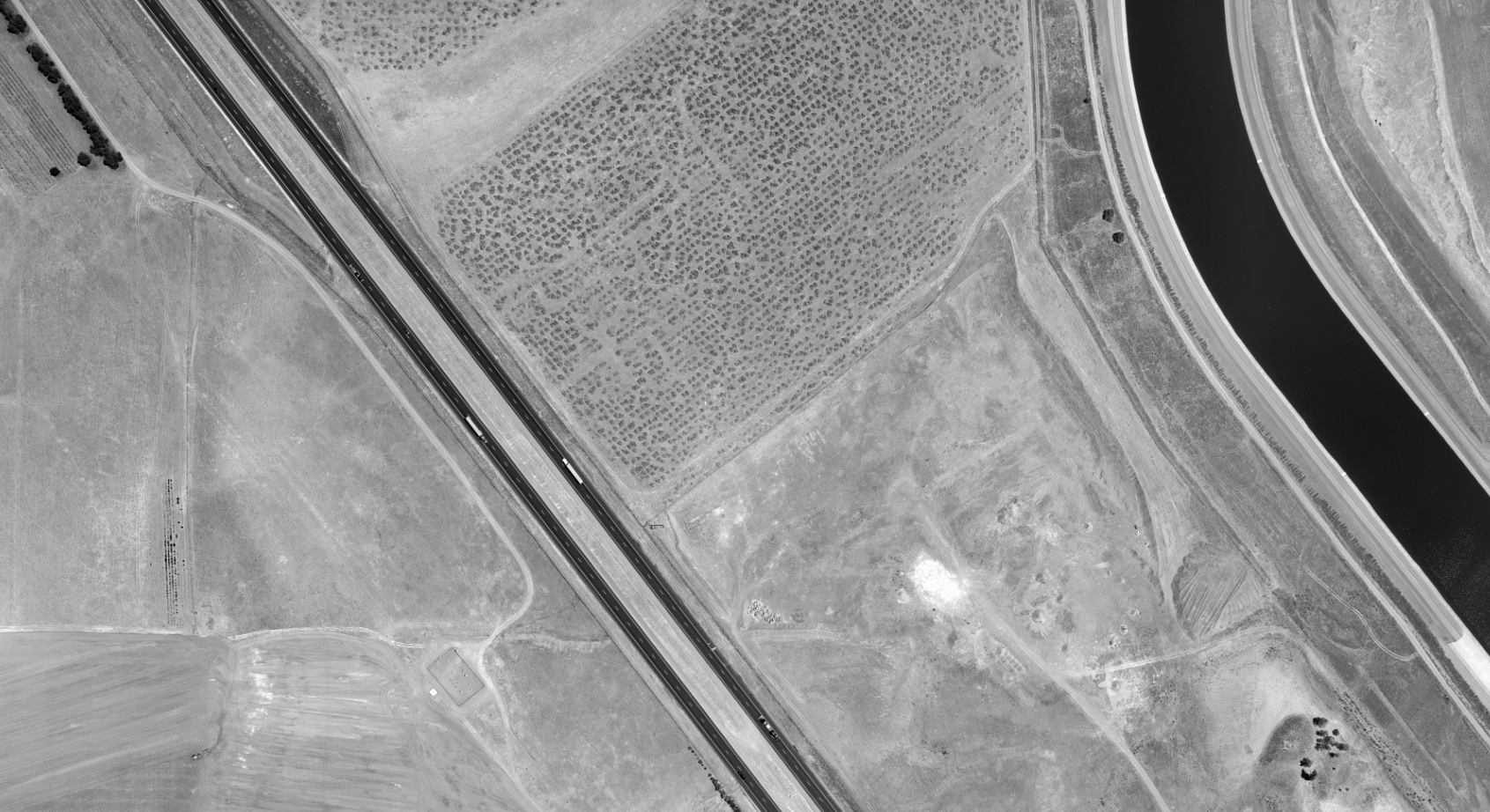
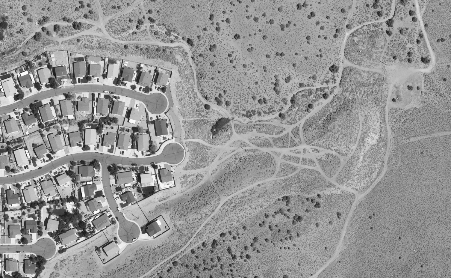
Monochrome Images of Aerial Landscapes
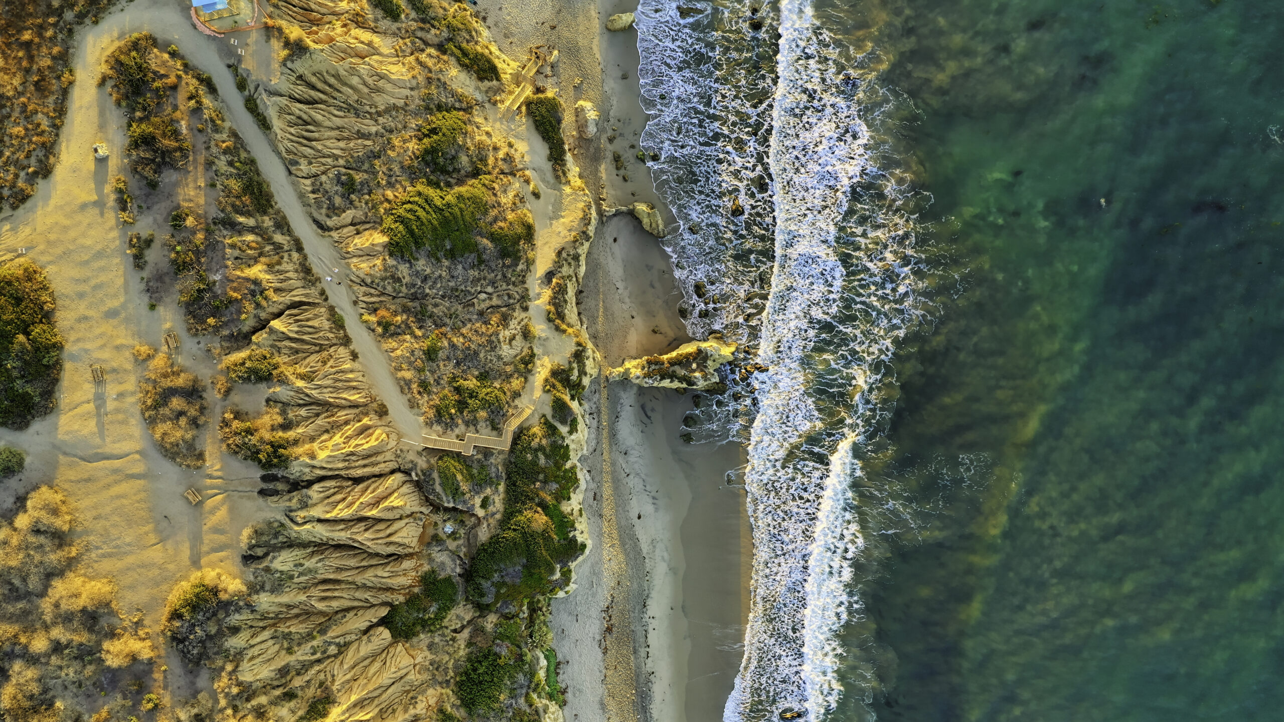
Capture the stark beauty and intricate details of landscapes with our black and white aerial photography. Ideal for environmental studies and land management, these images provide a clear view of natural and man-made formations.
Black and White Aerial Photo Imaging
Take advantage of our expert aerial photo imaging for detailed, high-resolution photographs that support precise planning and analysis. Our black and white photos are particularly useful for clients in sectors where detailed texture and contrast are necessary for thorough analysis and decision-making.
Start Your Project with Confidence
Ensure the success of your project with precise and detailed black and white aerial imagery from Synergy Mapping, Inc. Don’t wait to improve your project outcomes—call Syenrgy Mapping, Inc. today.
Contact Synergy Mapping, Inc. and let us help you capture the clarity your project deserves.Why Choose Synergy Mapping, Inc.?
At Synergy Mapping, Inc., we stand out as the leader in providing comprehensive black and white aerial photography services. Our commitment to excellence and precision in black and white aerial photography sets us apart, ensuring that every project we undertake meets the highest standards of accuracy and quality.

Advanced Equipment
At Synergy Mapping, Inc., we employ manned aircraft equipped with the latest high-resolution cameras that are optimized for black and white aerial photography. This specialized equipment allows us to capture images with exceptional detail and clarity, ensuring superior image quality that is necessary for high-level analysis and documentation. Our aircraft can reach areas that are often inaccessible to drones, providing a broader scope of coverage and the ability to capture images under a variety of atmospheric conditions.

Expertise in Geospatial Services
Our team at Synergy Mapping, Inc. boasts decades of combined experience in the field of geospatial services, with a specific prowess in black and white aerial photography. This depth of expertise ensures that every project we undertake is handled with the utmost professionalism and technical skill. Our photographers and analysts are adept at tailoring their approach to suit the specific requirements of each project, ensuring that the final deliverables exceed our clients’ expectations.

Tailored Solutions
We recognize that each industry and project has its own unique challenges and requirements. At Synergy Mapping, Inc., we pride ourselves on our ability to offer customized solutions that are meticulously crafted to meet the distinct needs of our clients. Whether it’s aiding in urban planning, environmental monitoring, or construction, our black and white aerial photography services are designed to provide targeted insights that aid in the efficient management and execution of projects.

Extensive Coverage
With operations across Colorado, Nevada, California and the United States, Synergy Mapping, Inc. offers expansive coverage that ensures we can service a wide geographic area without compromising on the speed or quality of our deliverables. This extensive reach is supported by our logistical capabilities and strategic positioning, allowing us to respond quickly to clients’ needs.

Dedicated Customer Support
At the core of Synergy Mapping, Inc. is a steadfast commitment to customer satisfaction. We provide dedicated support throughout the lifecycle of every project — from the initial consultation and planning stages through to the final delivery and post-delivery support. Our team is always ready to address any concerns and make adjustments as required, ensuring a seamless and satisfying experience for all our clients.
Real Results:
Hear What Our Clients Are Saying
Contact Synergy Mapping, Inc.
Discover the impact of exceptional black and white aerial photography on your projects by contacting Synergy Mapping, Inc. Why wait, contact us now for a consultation and get started with our expert team!
FAQs About Black and White Aerial Photography
How Does Black and White Photography Benefit Urban Planning?
Black and white aerial photography provides urban planners with high-contrast images that emphasize the texture and structure of urban landscapes without the distraction of colors. This can simplify the visualization of land use patterns, infrastructure, and detailed urban layouts, facilitating more effective planning, zoning, and development strategies.
Why Prefer Black and White Photography for Environmental Monitoring?
In environmental monitoring, black and white aerial photography is valued for its ability to highlight contrasts and subtle details in vegetation, water bodies, and terrain. These images can help identify environmental changes over time, such as erosion, deforestation, and the spread of invasive species, offering a clear and unambiguous presentation of the data.
Advantages of Black and White Photography in Archaeology
For archaeological sites, black and white aerial photography is crucial as it enhances the visibility of surface features and remains that are often obscured in color images. The stark contrast helps in detecting subtle undulations in the terrain and can uncover patterns and details that are key to identifying archaeological features.
Can Black and White Photography Boost Construction Efficiency?
Yes, black and white aerial photography can significantly enhance construction project efficiency by providing precise, high-resolution images that are ideal for monitoring construction progress, planning logistics, and tracking resource use. The clarity and detail in these images help in identifying potential issues early, enabling timely interventions to keep projects on track and within budget.
Uses of Black and White Photography in Government Land Management
Government agencies utilize black and white aerial photography for a variety of land management tasks, including assessing property boundaries, monitoring land use compliance, and planning public works projects. The high resolution and contrast of these photographs make it easier to interpret and analyze landscapes, which is essential for accurate mapping, regulatory enforcement, and resource management.

